 Skip to content


DJI M400 Surveying & Mapping Pro
£33,407.00
- Complete drone surveying UK kit
- L3 LiDAR terrain mapping
- P1 photogrammetry high detail
- RTK-3 centimetre-level accuracy
- Optimised for topographic surveys
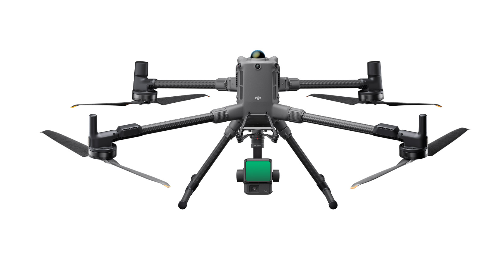
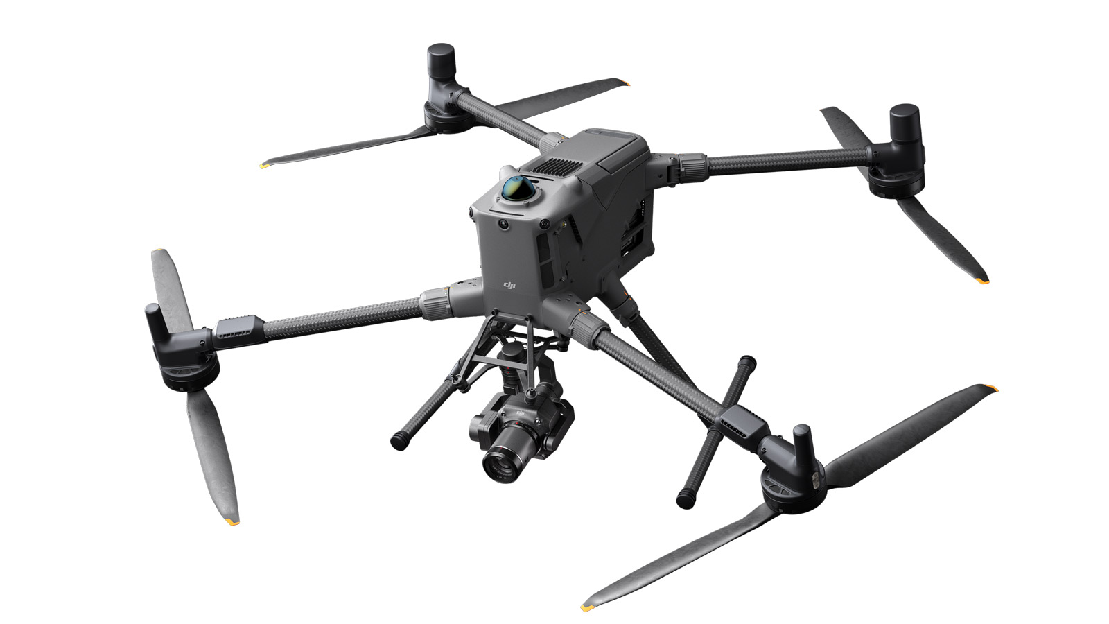
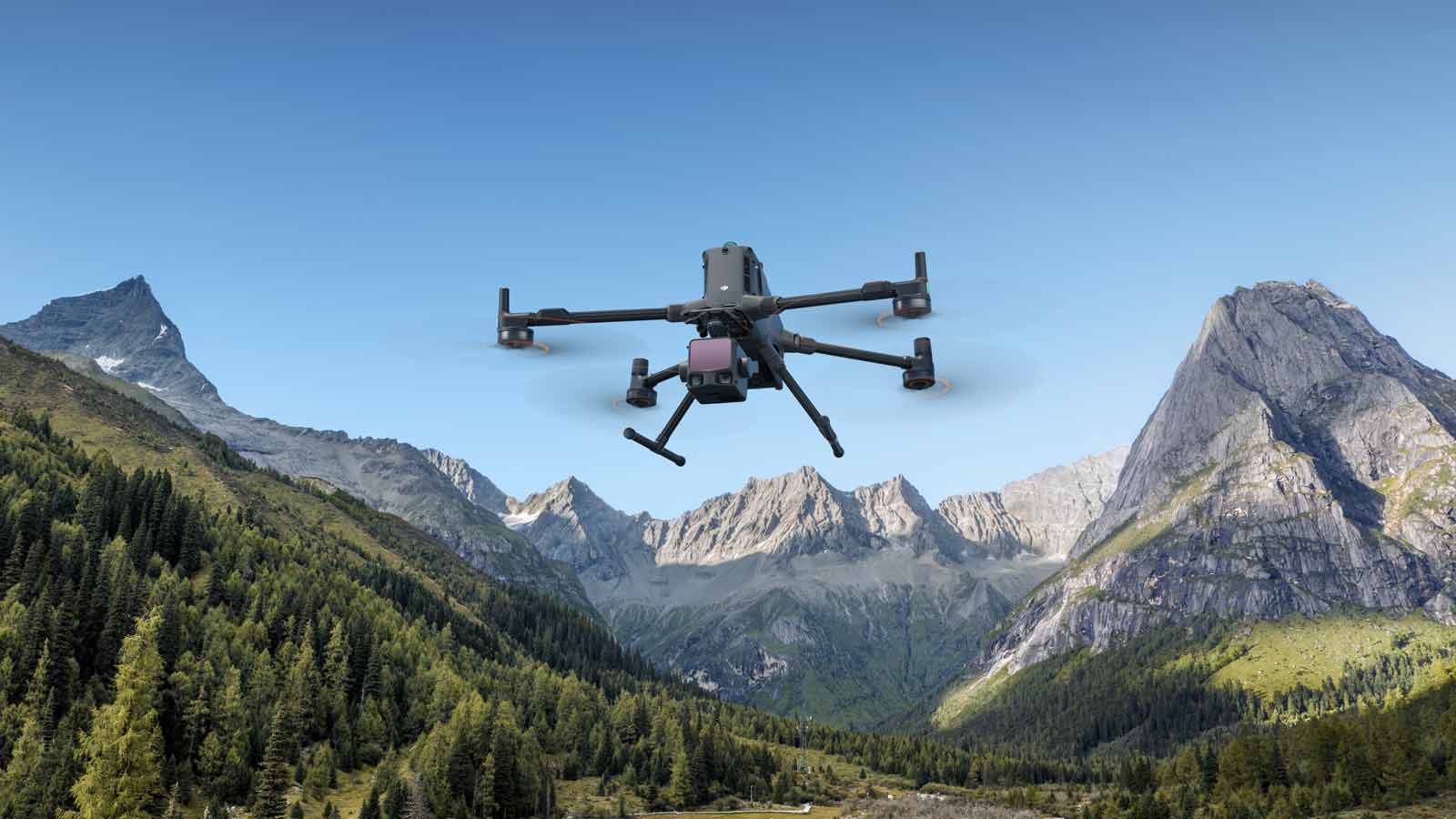
M400 Total Survey Solution — Premium LiDAR & Photogrammetry Drone Package
Achieve survey-grade accuracy for drone surveying UK, topographic mapping and infrastructure projects with the DJI Matrice 400, equipped with L3 LiDAR and P1 photogrammetry payloads.
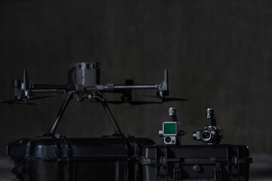
M400 Total Survey Solution (L3 + P1)
The M400 Total Survey Solution combines the power of the DJI Matrice 400 with Zenmuse L3 LiDAR and Zenmuse P1 photogrammetry, giving surveyors,
engineers and geospatial teams a complete drone surveying UK platform for topographic mapping, construction monitoring and complex terrain.
Instead of choosing between LiDAR or photogrammetry, this special bundle delivers both: dense, accurate point clouds from the L3 and crisp, 45 MP imagery from the P1. Together, they unlock faster workflows, better deliverables and more billable services from a single aircraft.
Why This Bundle Includes Both L3 and P1
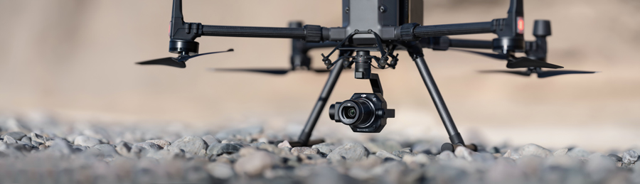
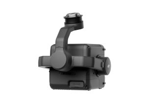
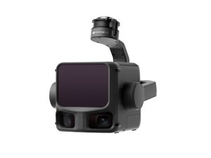
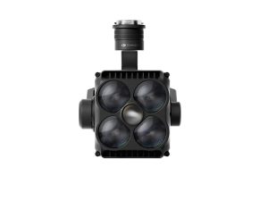
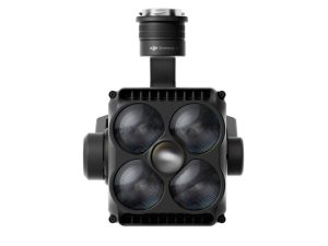
L3 LiDAR – Ground Truth in Any Terrain
The Zenmuse L3 captures high-density LiDAR data with multiple returns, reaching the ground through trees, scrub and rough terrain where cameras alone struggle. It delivers:
- Accurate DTMs and DSMs for engineering design
- Clean ground models under vegetation
- Reliable elevation data for flood and drainage studies
- Corridor mapping for roads, rail and utilities
For LiDAR drone survey UK workflows, the L3 plus RTK-3 positioning gives survey-grade accuracy in a fraction of the time of traditional ground methods.
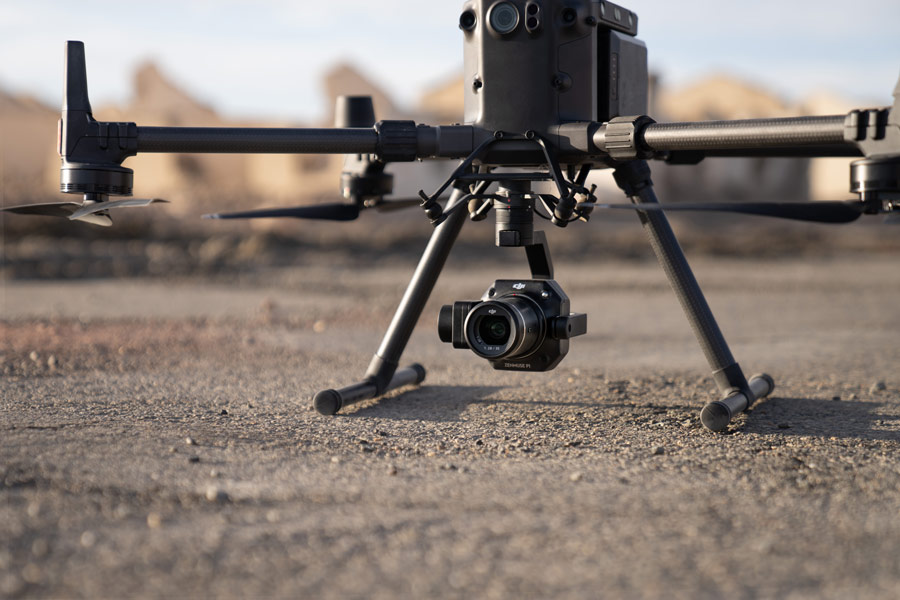
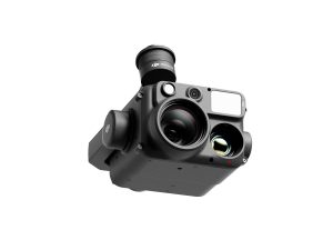
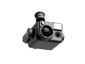
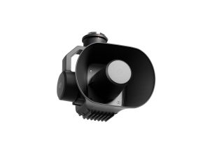
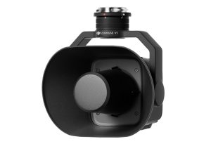
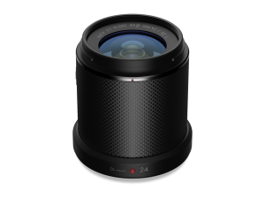
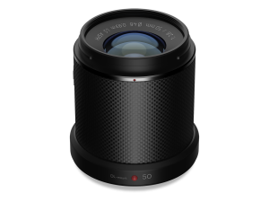
P1 Photogrammetry – High-Detail Visual Outputs
The Zenmuse P1 uses a 45 MP full-frame sensor and 24 mm lens to create sharp, detailed imagery and models. It is ideal for:
- Orthomosaics for planning and design
- 3D meshes and textured models
- Construction progress mapping and reporting
- Building facades, roofs and structural inspections
For drone mapping UK projects, the P1 gives clients the photorealistic views and documentation they expect alongside traditional survey outputs.
Why You Want Both – In One Package
Many jobs now require more than a simple orthophoto. With L3 and P1 together, the M400 can deliver both engineering-grade data and client-friendly visuals from a single site visit:
- One aircraft, multiple outputs – DTMs, DSMs, point clouds, orthos and 3D models.
- Fewer revisits – capture LiDAR and imagery in the same project window.
- More service offerings – win work in forestry, quarries, construction and infrastructure.
- Better ROI – maximise the value of every flight and every project.
This special bundle is designed so survey and mapping teams don’t have to compromise: LiDAR for bare earth accuracy, photogrammetry for rich visual context — all powered by RTK-3 and the Matrice 400 platform.
Related Products
-
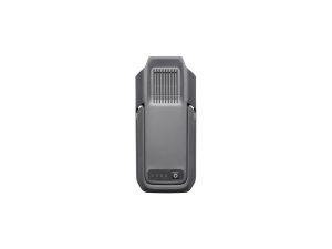
DJI BS100 Intelligent Battery Station
£1,150.00 Buy Now -
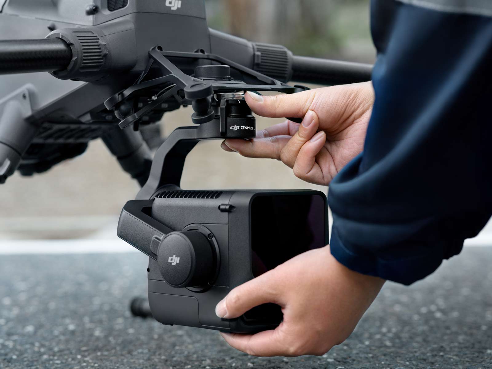
DJI Zenmuse L3
£13,150.00 Buy Now -


DJI M400 Inspection & Infrastructure
£21,210.00 Buy Now -

DJI Zenmuse H30T
£10,560.00 Buy Now -
DJI Zenmuse H30
£3,880.00 Buy Now -
DJI Zenmuse S1
£1,100.00 Buy Now -
DJI Zenmuse V1
£810.00 Buy Now -
Zenmuse X7 DJI DL 24mm
£1,299.00 Buy Now -
Zenmuse X7 DJI DL 50mm
£1,199.00 Buy Now -
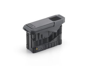
TB100 Flight Battery
£1,320.00 Buy Now