 Skip to content


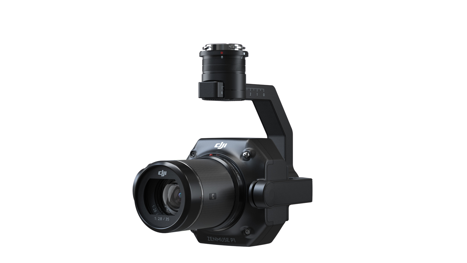


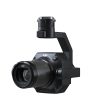
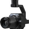
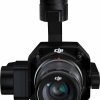
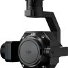
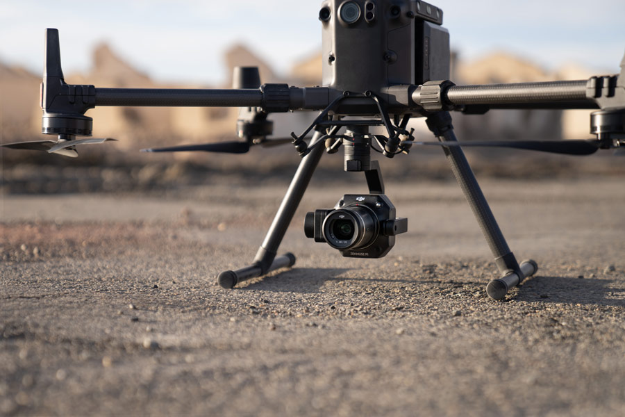
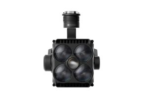
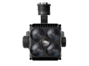
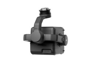
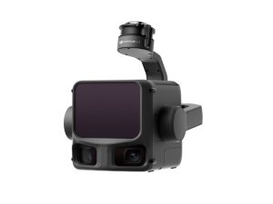
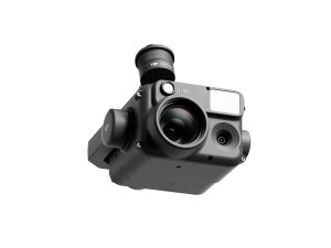
DJI Zenmuse P1 Camera Body
£5,280.00
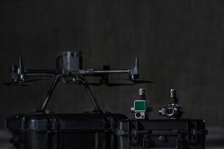
- Compatible with M400, M350 & M300 RTK
- 45 MP full-frame sensor
- Global mechanical shutter
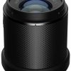
- Includes 35mm lens
- 1-year AA Care Plan
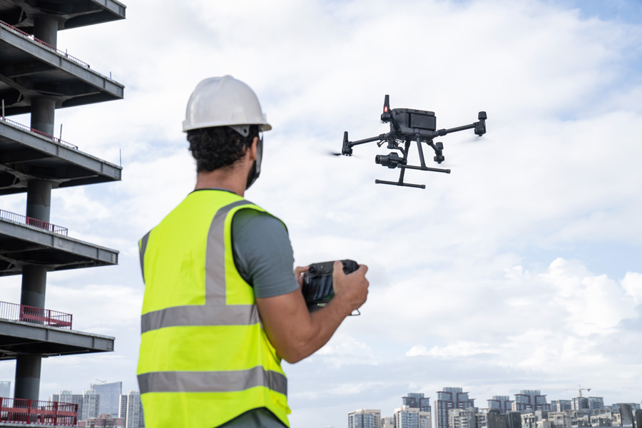
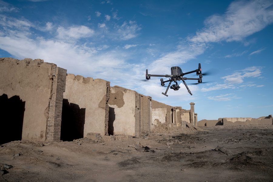
DJI Zenmuse P1 — Full-Frame Photogrammetry Camera
The DJI Zenmuse P1 integrates a 45-megapixel full-frame sensor, global mechanical shutter and a fixed-focus lens system on a 3-axis stabilised gimbal — engineered for rapid, highly accurate aerial surveying, mapping and inspection missions.
With capability to achieve horizontal accuracy down to 3 cm and vertical accuracy of 5 cm without ground control points, and coverage of up to 3 km² in a single flight, the P1 sets the new benchmark in drone photogrammetry.

Which Lens Should I Add?
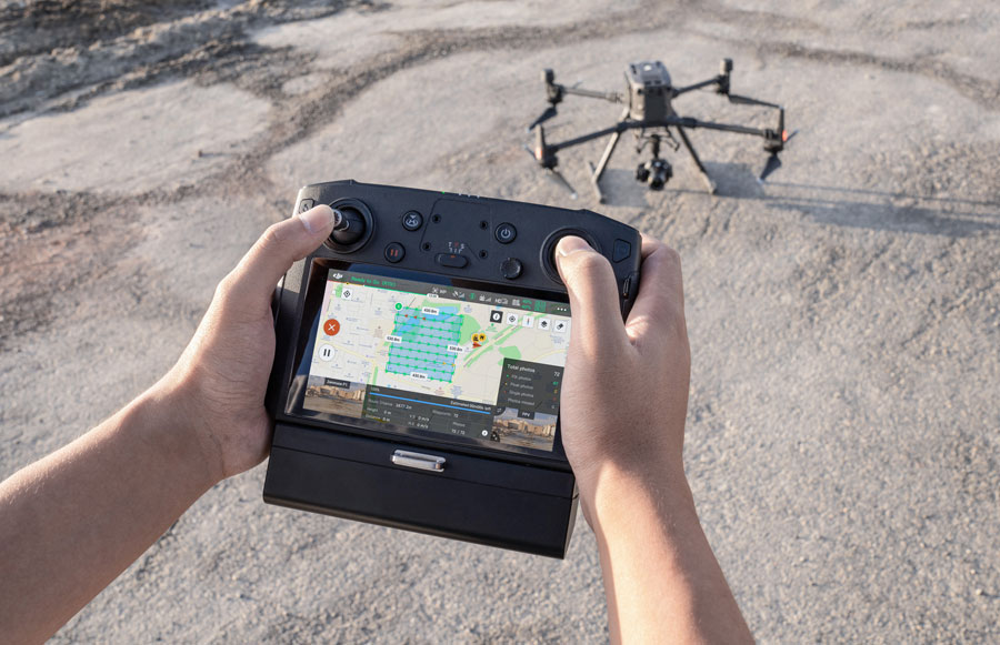
Tip: Match altitude and overlap to your target GSD and terrain complexity. Use RTK + TimeSync for survey-grade results.
Related Products
-
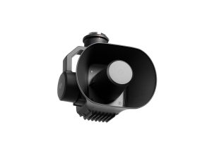
DJI Zenmuse S1
£1,100.00 Buy Now -
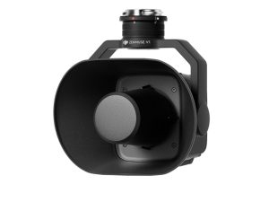
DJI Zenmuse V1
£810.00 Buy Now -
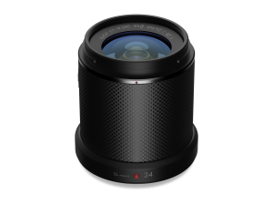
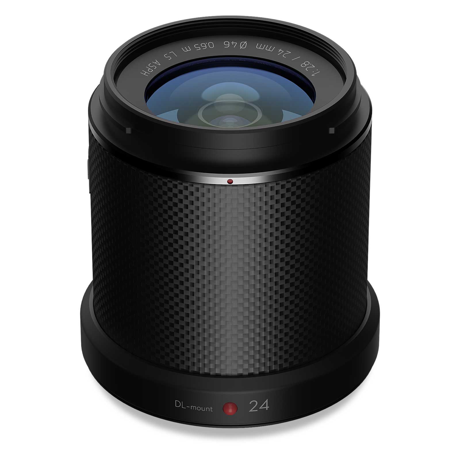
Zenmuse X7 DJI DL 24mm
£1,299.00 Buy Now -
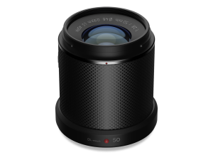
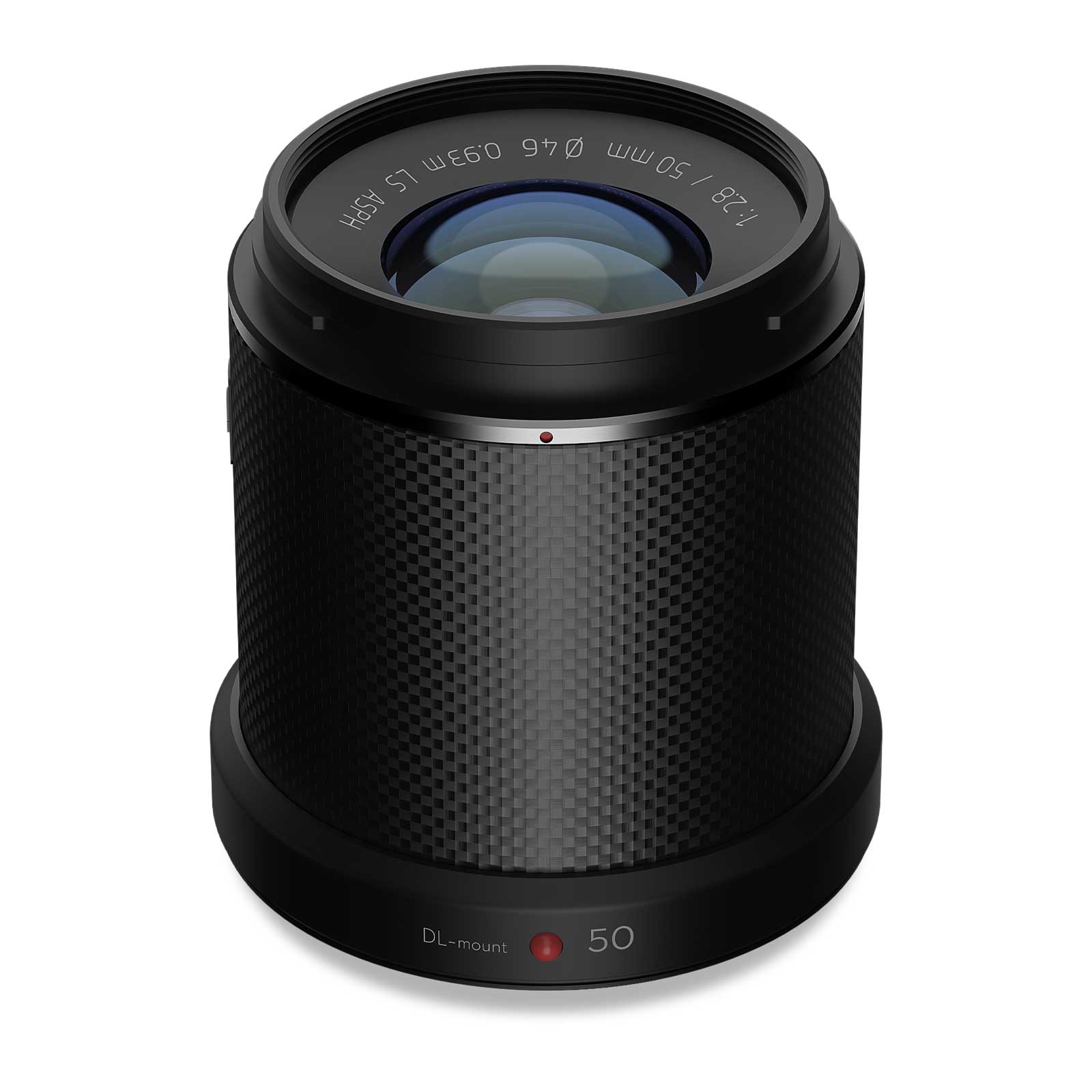
Zenmuse X7 DJI DL 50mm
£1,199.00 Buy Now -
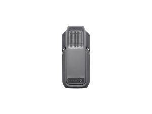
TB100 Flight Battery
£1,320.00 Buy Now -
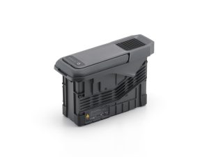
DJI BS100 Intelligent Battery Station
£1,150.00 Buy Now -
DJI Zenmuse L3
£13,150.00 Buy Now -


DJI M400 Surveying & Mapping Pro
£33,407.00 Buy Now -


DJI M400 Inspection & Infrastructure
£21,210.00 Buy Now -
DJI Zenmuse H30
£3,880.00 Buy Now