 Skip to content


DJI M400 Inspection & Infrastructure
£21,210.00
- Industrial-grade inspection system
- H30T multi-sensor camera
- Thermal and 400× zoom
- RTK-level positioning accuracy
- Ideal for UK infrastructure
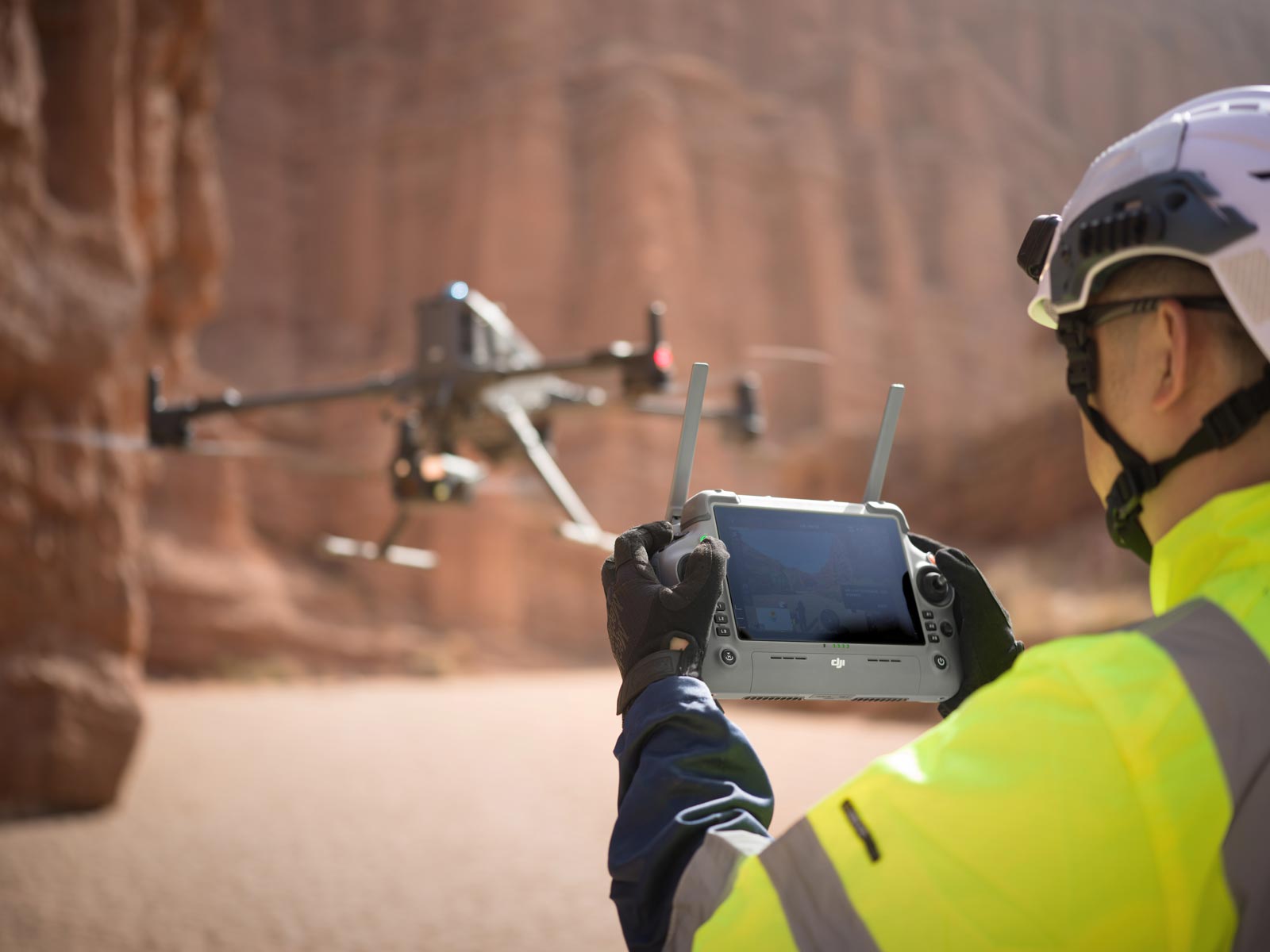
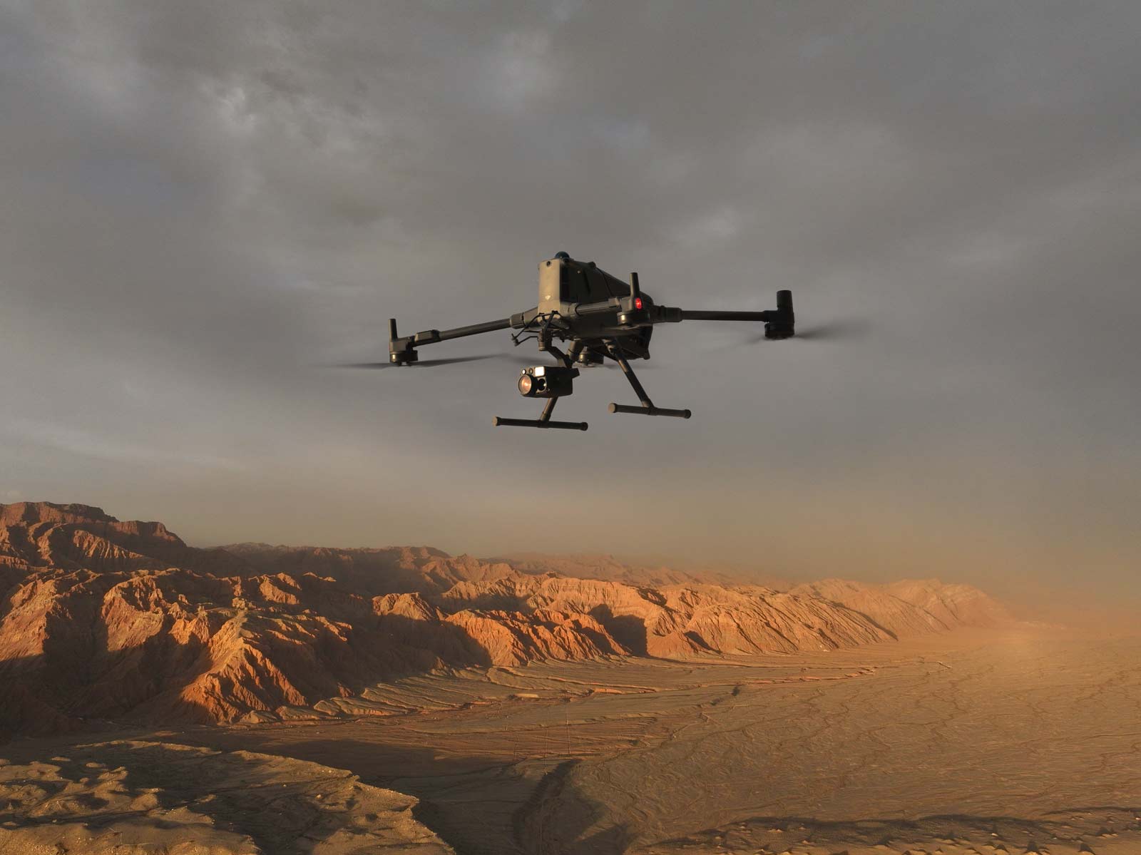
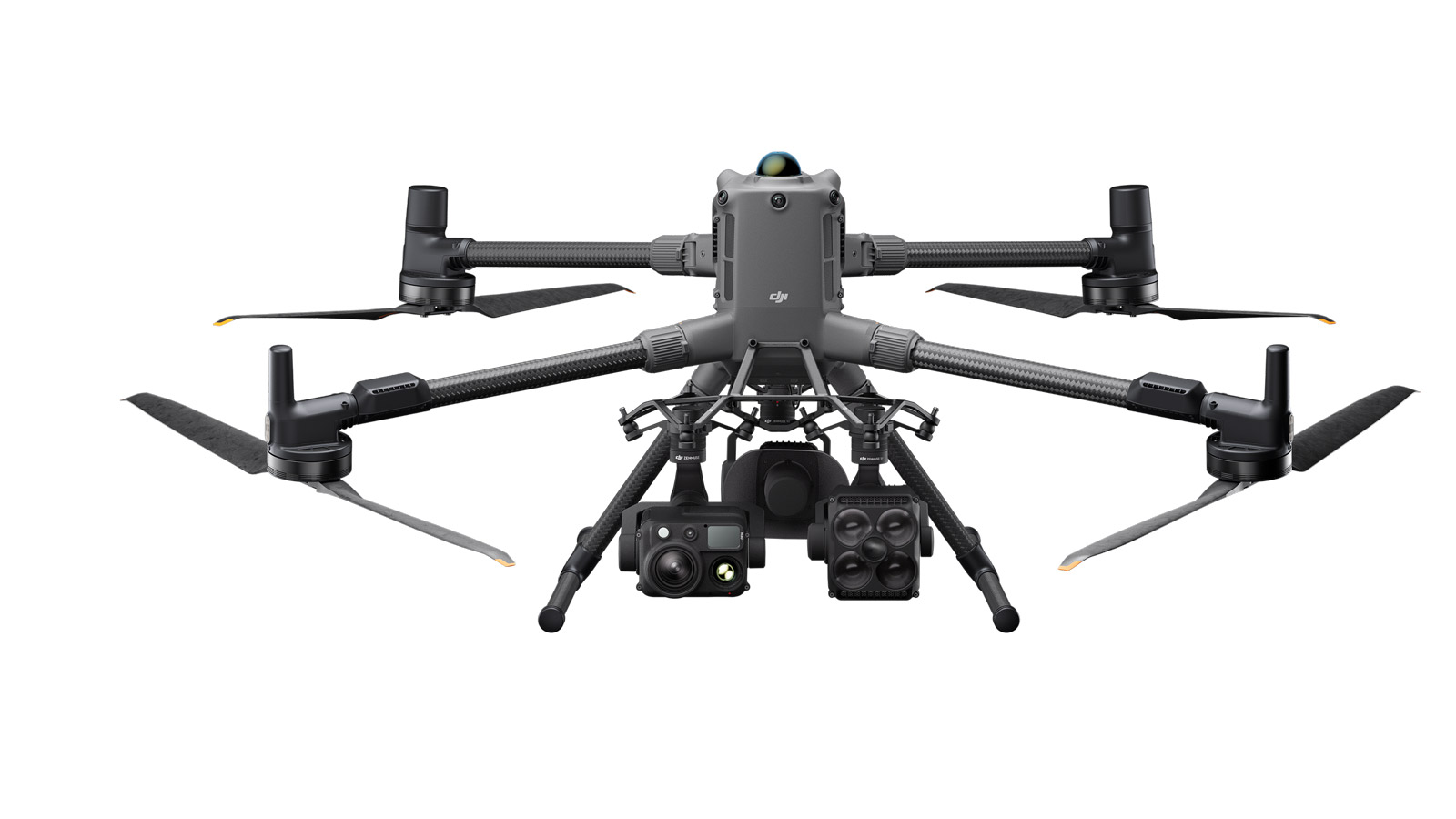
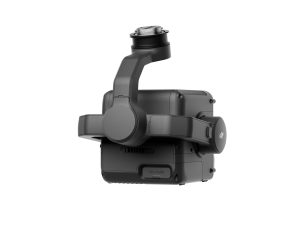
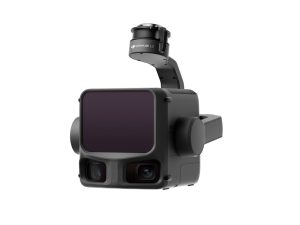
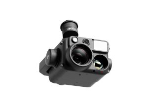
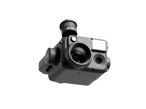
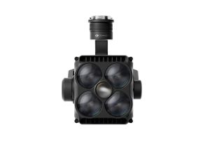
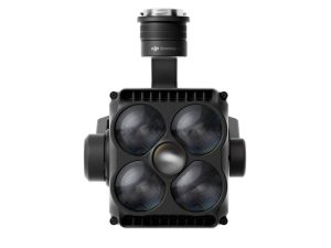
M400 Inspection & Infrastructure Package (H30T)
A powerful, enterprise-grade inspection system combining the DJI Matrice 400 and H30T multi-sensor payload for industrial, utilities and structural inspections across the UK.
Typical Use Cases & Industries
🔌 Utilities & Power Infrastructure Inspection

Ideal for inspecting power lines, substations, transformers and high-voltage infrastructure. The H30T’s 400× zoom and thermal imaging reveal hot spots, structural defects or insulation issues without the need for live-line crews — improving safety, reducing downtime, and speeding up maintenance cycles.
📡 Telecom Towers & Mast Inspections
Use the M400 + H30T to inspect telecom towers, antenna masts, and rooftop installations. High zoom capabilities allow for close-up analysis from a safe distance, identifying corrosion, misalignment or damage — perfect for telecom operators and maintenance contractors.
🏗️ Construction & Structural Building Inspections
For bridges, roofs, chimneys, industrial plants, warehouses and commercial buildings — the M400 Inspection & Infrastructure Package allows fast, detailed condition surveys. Capture visual defects, surface degradation, thermal leaks or structural anomalies with the
H30T’s optical and thermal sensors. Ideal for compliance reports, insurance inspections, building maintenance, and structural integrity assessments.
🌿 Renewable Energy & Utilities Asset Monitoring
Perfect for solar farms, wind turbines, water treatment works and utilities infrastructure. Use the M400 to inspect large arrays, structural supports, panel integrity or turbine blades — capturing thermal, visual or zoom data to detect faults, wear or maintenance needs quickly and safely.
🚆 Rail, Transport & Infrastructure Corridor Surveys
Conduct overhead inspections of rail lines, bridges, tunnels, pipelines and transport corridors. The H30T allows you to document structural elements, check clearances, capture thermal anomalies or structural wear — all from a safe vantage point, reducing the need for manual inspections or disruptive shutdowns.
🚨 Search & Rescue & Emergency Response
The M400 can be configured with H30T for thermal/visual inspection — and with additional accessories (e.g. spotlight, loudspeaker) to support emergency services. Ideal for search & rescue, night-time inspections, flood response, large-area sweeps or urgent structural assessments when speed and flexibility are critical.
Related Products
-
Zenmuse X7 DJI DL 50mm
£1,199.00 Buy Now -
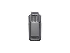
TB100 Flight Battery
£1,320.00 Buy Now -
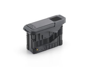
DJI BS100 Intelligent Battery Station
£1,150.00 Buy Now -
DJI Zenmuse L3
£13,150.00 Buy Now -


DJI M400 Surveying & Mapping Pro
£33,407.00 Buy Now -

DJI Zenmuse H30T
£10,560.00 Buy Now -
DJI Zenmuse H30
£3,880.00 Buy Now -
DJI Zenmuse S1
£1,100.00 Buy Now -
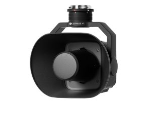
DJI Zenmuse V1
£810.00 Buy Now -
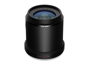
Zenmuse X7 DJI DL 24mm
£1,299.00 Buy Now