


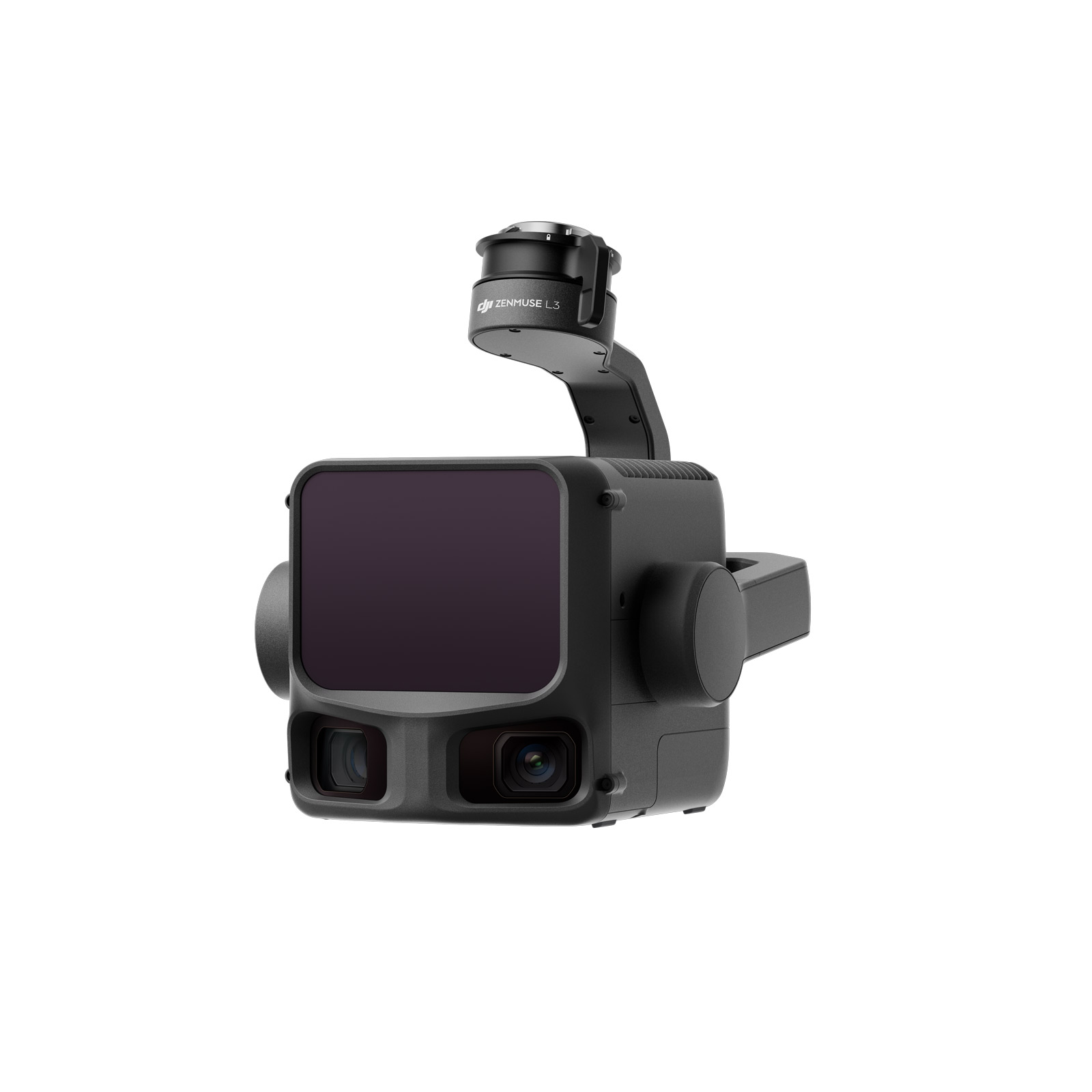
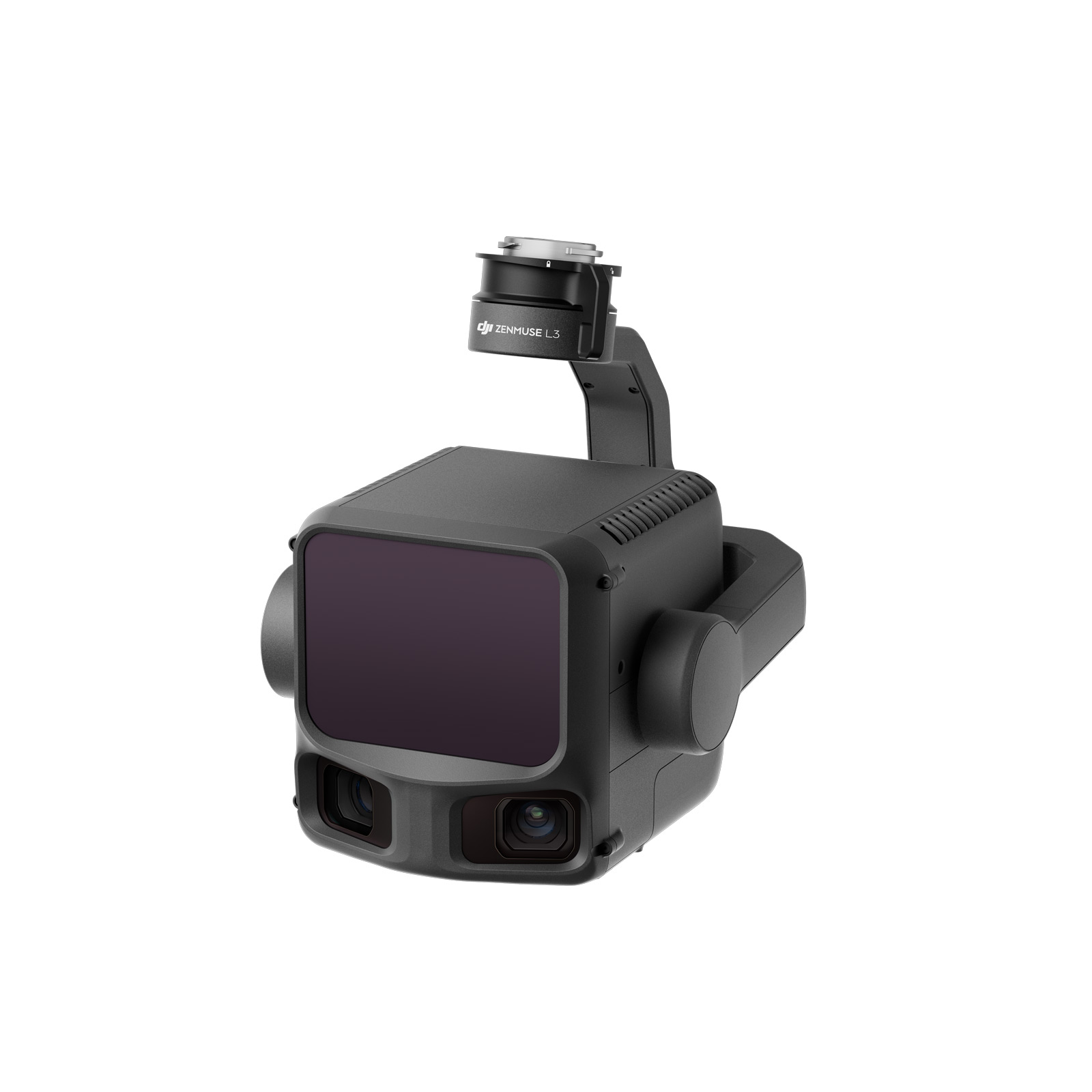
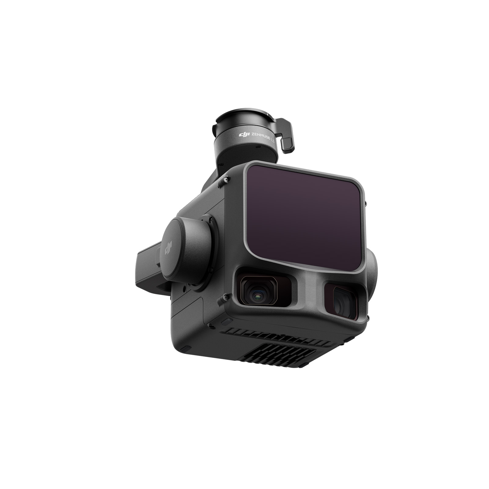
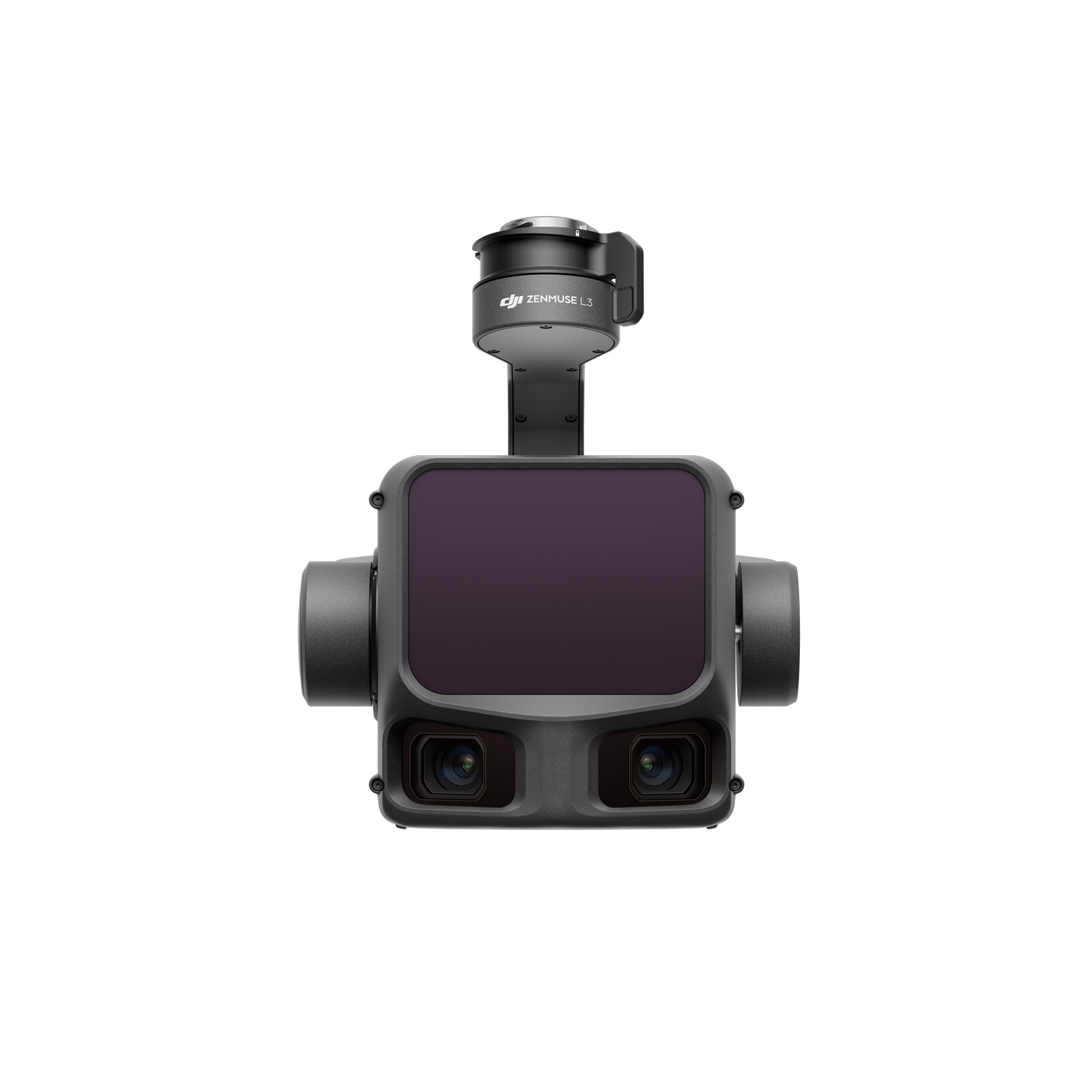

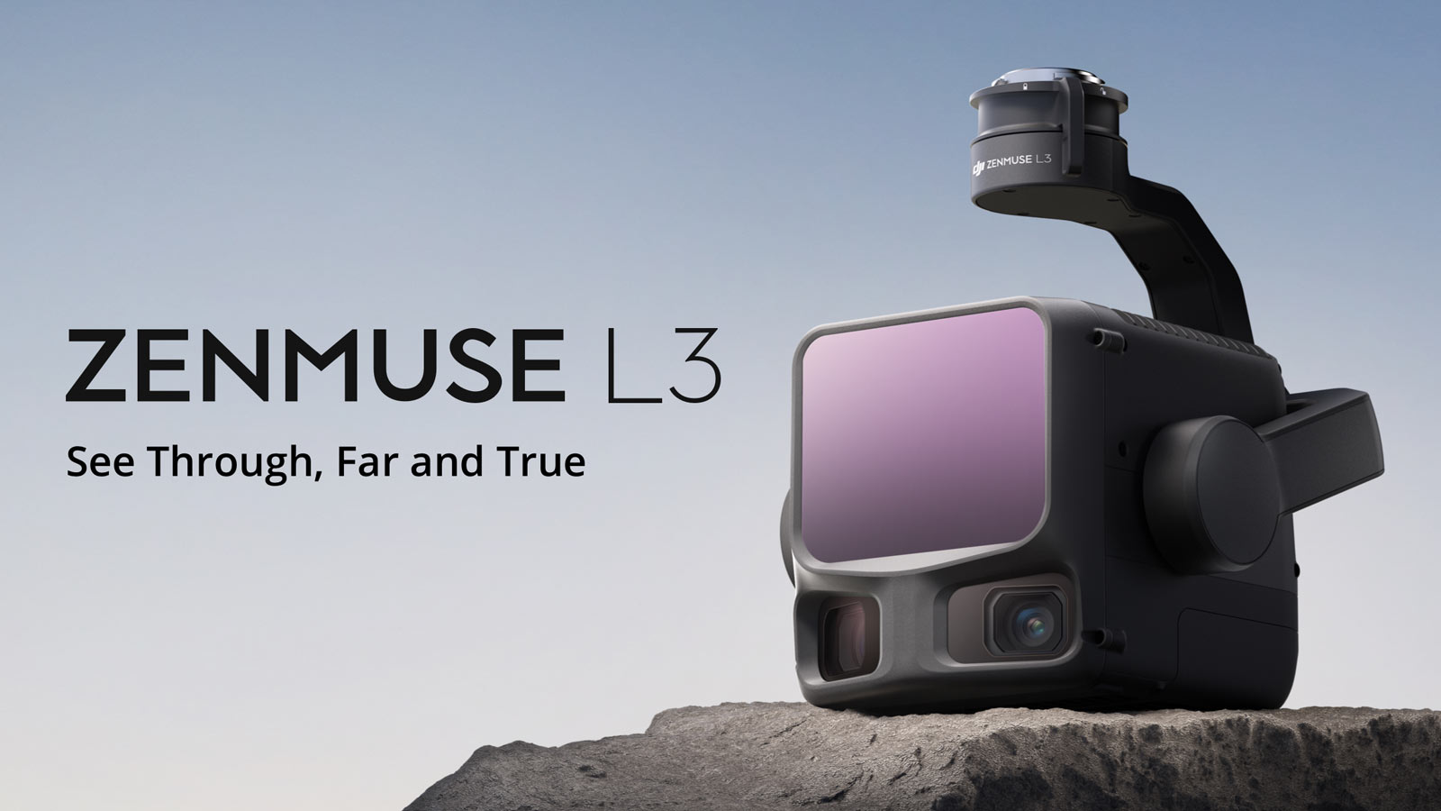
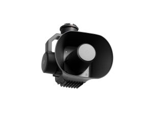
DJI Zenmuse L3
£13,150.00
- Next-generation long-range LiDAR for the DJI Matrice 400
- Up to 950 m detection range with enhanced vegetation penetration
- Dual 100 MP RGB cameras for true-colour point clouds and orthos
- Adaptive scanning modes for terrain, forestry and powerline work
- Streamlined end-to-end workflow with DJI Terra, Modify & FlightHub 2
DJI Zenmuse L3
Next-generation long-range LiDAR for high-precision aerial mapping, surveying, utilities and forestry applications — engineered exclusively for the DJI Matrice 400 platform.
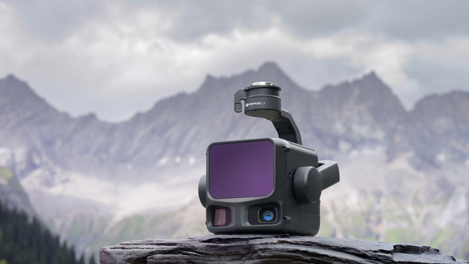
The DJI Zenmuse L3 elevates enterprise geospatial capture with a powerful combination of long-range LiDAR, enhanced point density, superior vegetation penetration and dual 100 MP RGB cameras. Whether you’re mapping large-scale terrain, modelling infrastructure assets, assessing powerline corridors or visualising dense forestry, the L3 delivers exceptional accuracy — even in complex environments.
Powerful Long-Range LiDAR
Featuring a maximum detection range of up to 950 m, the Zenmuse L3 captures reliable point cloud data at altitude, improving project efficiency and reducing flight time. A reduced beam divergence of 0.25 mrad enables precise reconstruction of smaller objects such as conductors, branches and structural features.
Adaptive Scanning Modes
- Linear — consistent point distribution for terrain modelling
- Star-Shaped — improved penetration in forests and urban corridors
- Non-Repetitive — multi-angle scanning ideal for powerline inspection
Dual 100 MP RGB Mapping Cameras
High-resolution imagery enables true-colour point clouds and rapid photogrammetry workflows using a 107° horizontal field of view. Capture orthophotos, DEMs and textured 3D models without repeat flights.
Exceptional Ground Penetration
Thanks to increased laser energy density and improved return handling, the L3 achieves stronger ground visibility beneath canopy cover — producing high-quality terrain models in forestry, flood analysis and ecological surveys.
Efficient End-to-End Workflow
Fully integrated with DJI Terra, DJI Modify and FlightHub 2, the Zenmuse L3 streamlines mission planning, processing and delivery. Multi-platform friction is removed — keeping operational overheads low.
- Real-time RGB + point cloud display
- Microsecond-level time synchronisation
- Cleaner, thinner point clouds for faster classification
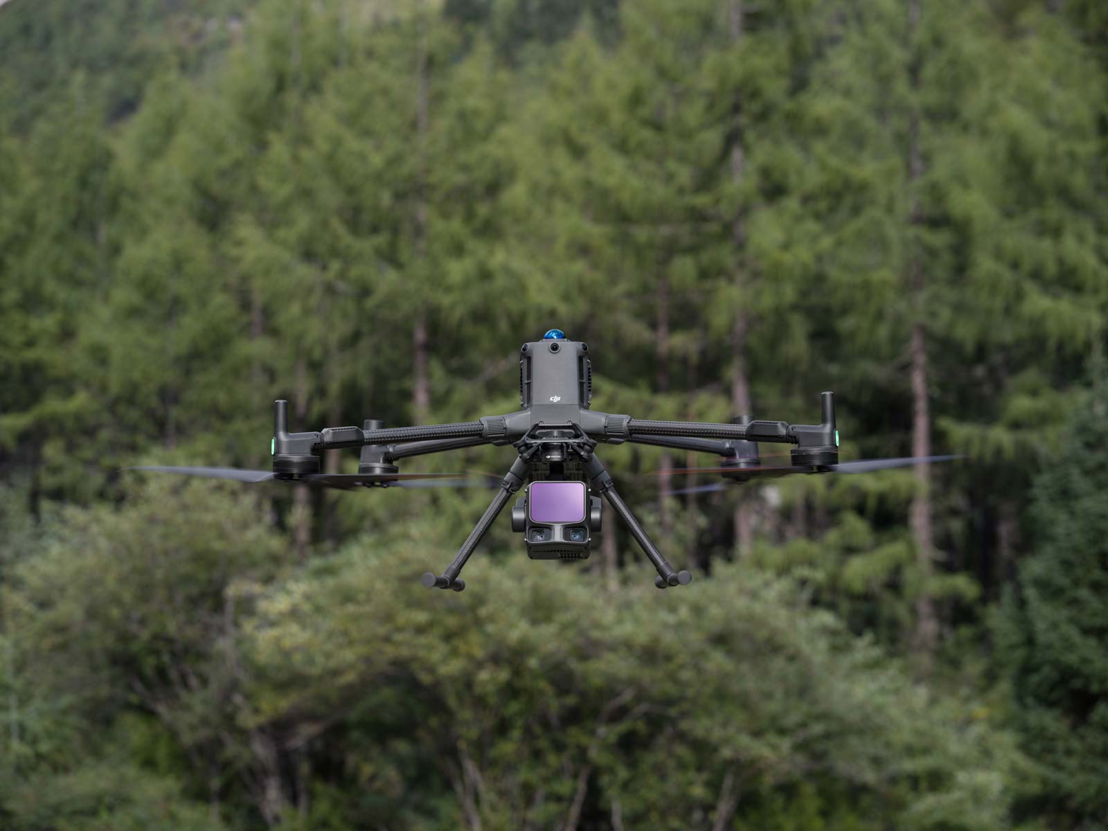
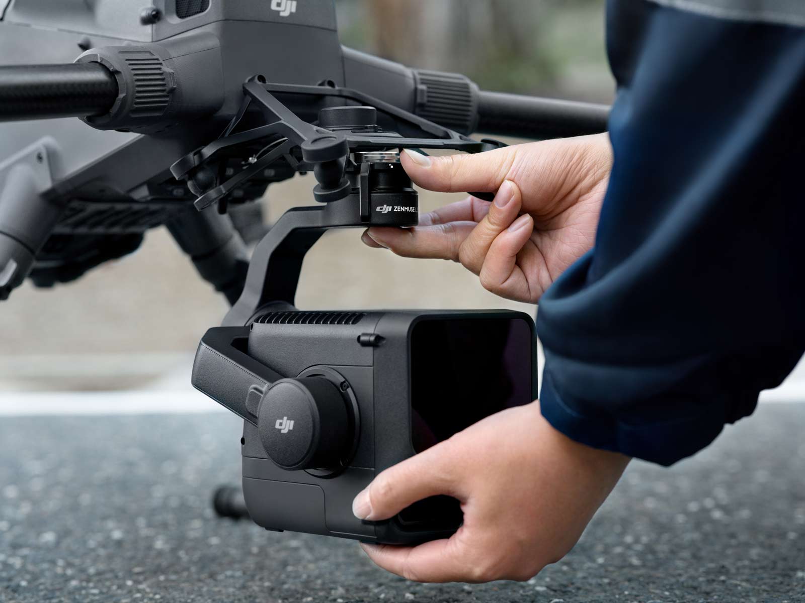
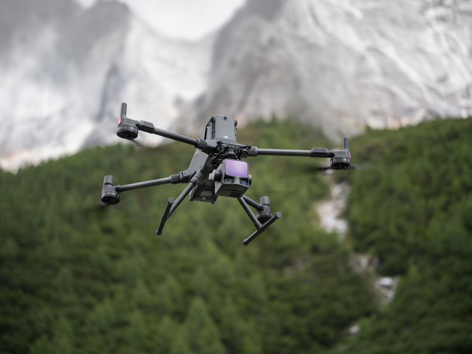
Designed for the Matrice 400
As DJI’s newest enterprise LiDAR payload, the L3 is purpose-built for the Matrice 400, delivering improved flight efficiency, endurance and sensor performance across demanding environments. A future-ready pairing for long-term programmes.
DJI Zenmuse L3 — Frequently Asked Questions
What is the DJI Zenmuse L3 and who is it for?›
The DJI Zenmuse L3 is a long‑range, high‑accuracy aerial LiDAR and dual‑RGB camera payload designed for professional mapping, surveying, forestry and infrastructure inspections. It pairs with enterprise drones like the DJI Matrice 400 RTK to deliver rich point‑cloud data and true‑colour imagery.
What is the detection range and multi‑return capability?›
The L3 supports a LiDAR range up to ~950 m on 10% reflectivity at 100 kHz. It also supports up to 16 returns per laser pulse, markedly improving data richness in vegetation and complex surfaces.
What dual‑camera system does it use?›
The payload features dual 100 MP 4/3″ RGB sensors, capable of true‑colour mapping and orthophoto generation with a combined field of view of ~107°, enabling superior photogrammetry alongside LiDAR capture.
What accuracy and altitude support does the L3 provide?›
The system can achieve ~±3.5 cm vertical and ~±5 cm horizontal accuracy at around 150 m altitude and supports mission altitudes up to ~500 m for large‑area coverage.
Which drone platforms is it compatible with?›
The L3 is designed for enterprise‑grade aircraft such as the DJI Matrice 400 RTK. Confirm compatibility including the required gimbal connector and payload bracket for your configuration.
What scanning modes and throughput are available?›
It offers multiple scanning modes including Linear (repetitive), Star‑shaped and Non‑repetitive, and sampling rates adjustable from ~100 kHz up to ~2 MHz, offering high flexibility and throughput for both pastoral and dense urban surveys.
What deliverables and software workflows does the L3 support?›
The payload integrates with software like DJI Terra and supports outputs such as orthomosaics, classified point clouds, DEM/DTM models, 3D meshes and Gaussian‑splat models — enabling end‑to‑end mapping and analysis workflows.
How does it handle harsh environments and professional duty cycles?›
The L3 weighs ~1.60 kg, has dimensions ~192 × 162 × 202 mm, is rated to IP54 and operates in temperatures from –20 °C to +50 °C. It also supports high‑throughput missions capable of covering up to ~100 km² per day under optimal conditions.
What kinds of applications is the L3 best suited for?›
Typical applications include topographic surveying, corridor/power‑line inspections, forestry canopy modelling, large‑scale urban mapping, and infrastructure asset monitoring where high range, resolution and efficiency matter.
Where can I buy the DJI Zenmuse L3 and get support in the UK?›
We supply the L3 through our UK enterprise drone channels with UK‑ready bundles, calibration, training and warranty support. Contact us for pricing, configurations and demo availability.
DJI Zenmuse L3 — Long-Range LiDAR & RGB Mapping Payload
Next-generation aerial LiDAR sensor with extended detection range, enhanced accuracy, improved vegetation penetration and true-colour point clouds — designed exclusively for the DJI Matrice 400 platform.
0.25 mrad beam divergence
Up to 2 M pts/s pulse rate
16 returns per pulse
Dual 100 MP RGB
107° horizontal FOV
LiDAR Performance
- Detection Range: Up to 950 m @ 10% reflectivity / 100 klx
- Beam Divergence: 0.25 mrad (1/e²)
- Pulse Emission Rate: Up to 2,000,000 pts/s
- Max Returns: 16 returns per pulse
- Ranging Repeatability: 5 mm @ 150 m (1σ)
- Vertical Accuracy: < 3 cm @ 120 m altitude
- Horizontal Accuracy: < 5 cm @ 300 m altitude
- Point Cloud Thickness: ~50% thinner vs L2
- Laser Safety: Class 1 (IEC 60825-1)
Scanning Capabilities
- Linear Mode: Consistent distribution for terrain models
- Star-Shaped: Multi-angle returns for forestry & corridors
- Non-Repetitive: Ideal for complex infrastructure & powerlines
RGB Mapping Cameras
- Sensors: Dual 100 MP (4/3″ CMOS)
- Shutter: Mechanical global shutter
- Field of View: 107° horizontal
- Ground Sample Distance: ~3 cm @ 300 m altitude
- Output: True-colour point clouds & high-resolution orthos
IMU & Positioning
- Synchronisation: Microsecond-level timing
- Heading Accuracy (Post): 0.02° (1σ)
- Pitch/Roll Accuracy (Post): 0.01° (1σ)
Platform Compatibility & Workflow
- Compatible Aircraft: Matrice 400 RTK only
- Software: DJI Terra, DJI Modify, FlightHub 2
- Simultaneous Capture: LiDAR + RGB in-flight
- Daily Efficiency: Up to 100 km²/day @ 300 m altitude
- Deliverables: DEM, DOM, 3D reconstruction, textured models
Environmental Parameters
- Operating Temperature: −20 °C to 50 °C
- Storage Temperature: −20 °C to 60 °C
- Ingress Protection: IP54
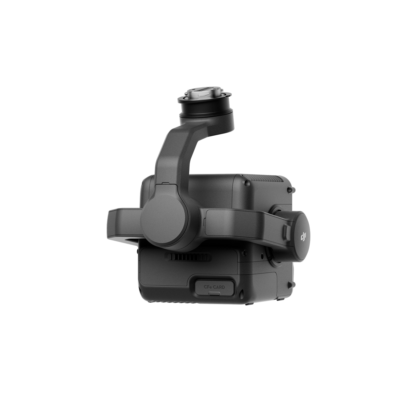
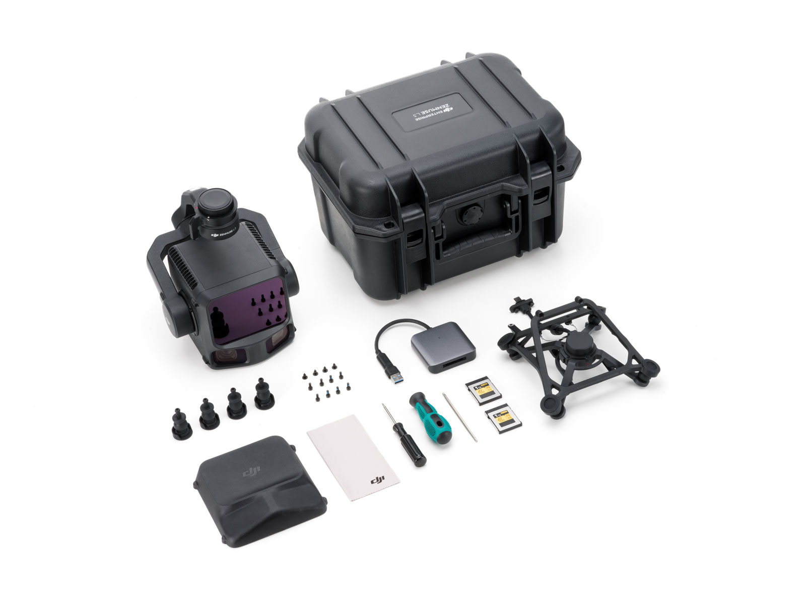
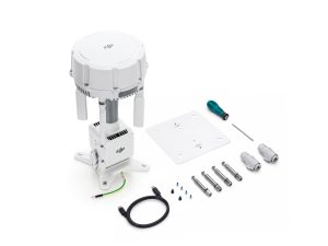
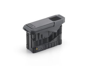
In the Box
- Zenmuse L3 payload ×1
- Mounting kit & cables ×1
- Accessory pack & documentation ×1
* Performance depends on altitude, overlap, RTK signal and mission planning.
Downloads

Windows Version

Windows Version
Windows Version
Firmware Update
Firmware Update
Firmware Update
Firmware Update
Related Products
-


DJI M400 Inspection & Infrastructure
£21,210.00 Buy Now -
DJI O4 Ground Station
£1,880.00 Buy Now -
Manifold 3
£1,160.00 Buy Now -
DJI AP100 Parachute
£1,010.00 Buy Now -
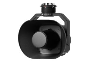
DJI Zenmuse V1
£810.00 Buy Now -
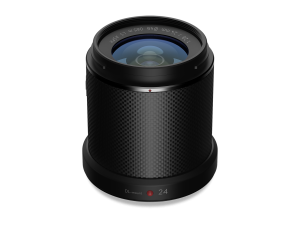
Zenmuse X7 DJI DL 24mm
£1,299.00 Buy Now -
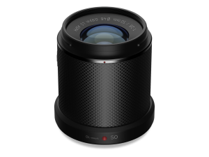
Zenmuse X7 DJI DL 50mm
£1,199.00 Buy Now -
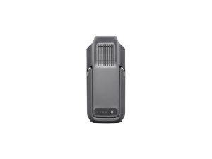
TB100 Flight Battery
£1,320.00 Buy Now -
DJI BS100 Intelligent Battery Station
£1,150.00 Buy Now -


DJI M400 Surveying & Mapping Pro
£33,407.00 Buy Now