


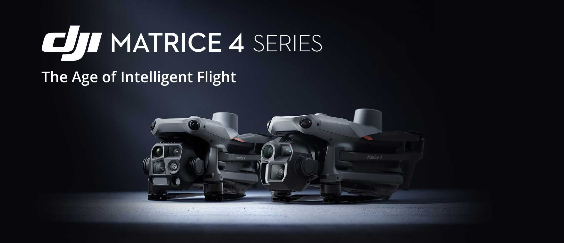
DJI Enterprise Demonstration
How the DJI Matrice 4TD Can Help Police Track Suspects and Recover Evidence
The latest generation of enterprise drones is not simply about flying further or carrying better cameras. Intelligent features are increasingly helping public safety teams gather information, maintain situational awareness and make faster decisions during live operations.
One example is the combination of Smart Track and PinPoint on the DJI Matrice 4TD.
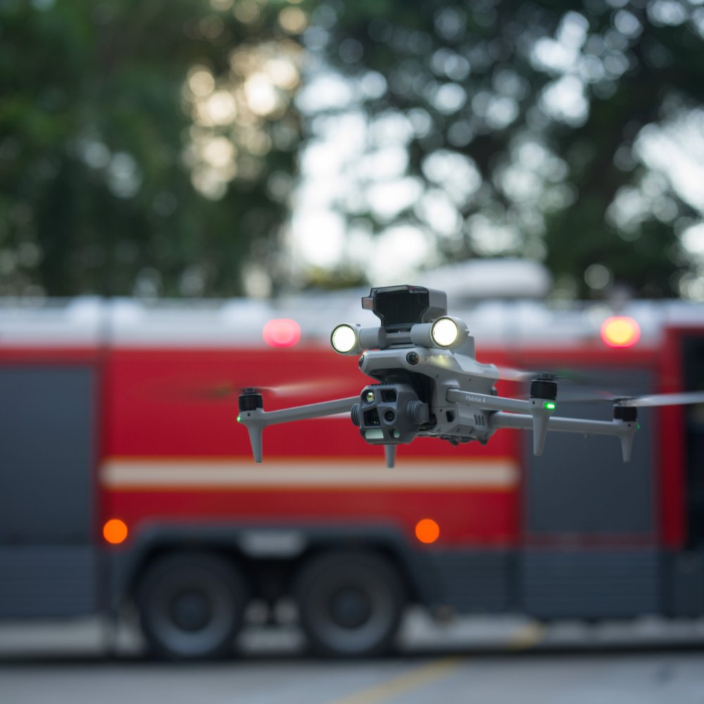
DJI Matrice 4TD Smart Track and PinPoint Demonstration
To demonstrate how these tools can work together, we created a simple scenario based on a situation that police or security teams could encounter during a foot pursuit.
The Scenario
In the demonstration, the drone operator identifies a simulated suspect moving on foot and activates Smart Track.
The system assists the operator by keeping the selected person within the camera view while the pilot continues to control the aircraft and monitor the wider surroundings.
During the pursuit, the suspect drops an item representing a piece of evidence. The operator immediately places a PinPoint over its location before continuing to follow the suspect.
After the suspect disappears from view, the pilot uses the saved PinPoint to navigate back to the location of the dropped item.
What Is Smart Track?
Smart Track is an AI-assisted tracking feature that allows the operator to select a person, vehicle or other supported subject within the camera view.
Once selected, the system helps keep that subject framed as it moves. This reduces the amount of continuous manual gimbal adjustment required during a dynamic operation.
The pilot remains responsible for flying the aircraft safely, maintaining awareness of obstacles and ensuring the operation remains within the relevant permissions and procedures.
Potential Smart Track applications include:
- Monitoring a person during a police operation
- Following a moving vehicle
- Tracking a missing person during a search
- Monitoring rescue teams or ground personnel
- Supporting security and perimeter patrols

What Is PinPoint?
PinPoint allows the drone operator to mark the location of an object, person, hazard or other point of interest identified through the aircraft's camera.
Once created, the PinPoint appears on the map and can be used as a reference throughout the operation.
Operators can use PinPoints to:
- Record the location of dropped evidence
- Mark a hazard or area of concern
- Save the last known position of a person
- Identify damaged infrastructure
- Navigate back to an important location
- Pass coordinates to supporting ground teams
PinPoint accuracy depends on several factors, including aircraft positioning, camera angle, range to the target and whether RTK corrections are available.
Why Smart Track and PinPoint Work Well Together
Smart Track and PinPoint are useful individually, but their operational value becomes clearer when they are used together.
In a live incident, a pilot may need to continue monitoring a moving person while also recording something important that has happened along the route.
Using PinPoint means the operator does not have to stop following the subject or rely on memory to relocate the position later.
A typical workflow could be:
- Identify and select the subject using Smart Track.
- Continue monitoring the subject from a safe position.
- Place a PinPoint when an important object or location is identified.
- Continue tracking the subject where operationally appropriate.
- Return to the saved PinPoint or share its location with ground personnel.
Reducing Pilot Workload
During a fast-moving operation, the pilot may be managing the aircraft, camera, zoom, communications, airspace awareness and the movement of ground teams simultaneously.
AI-assisted tools do not replace the pilot, but they can reduce repetitive camera movements and make it easier to maintain focus on the wider operation.
PinPoints also provide a clear digital reference, reducing the risk of an important location being forgotten after attention shifts elsewhere.
Other Operational Uses
Although our demonstration was based on a simulated police pursuit, the same workflow could support several other sectors.
Search and Rescue
Teams could track a person or rescue vehicle while marking discarded clothing, equipment, footprints, access points or hazards for later investigation.
Fire and Rescue
Operators could identify and mark hotspots, damaged structures, hazardous materials or safe access routes while continuing to monitor a developing incident.
Security Operations
Smart Track could help monitor an intruder or vehicle while PinPoints record entry locations, discarded objects or areas requiring investigation.
Infrastructure Inspection
PinPoints can be used to record defects or damaged components identified during an inspection, making it easier for engineers or maintenance teams to locate them afterwards.
Wildlife and Environmental Monitoring
Operators could mark nests, animals, damaged habitats or suspected illegal activity while continuing to observe a moving subject.
The Role of RTK
RTK can improve the positional accuracy of the aircraft and may help improve the reliability of location-based features such as PinPoint.
However, the final accuracy of a PinPoint is also influenced by the angle of the camera, the distance to the target, terrain, visibility and the accuracy of the laser rangefinder measurement.
For critical evidence collection or survey-grade work, operators should always understand the limitations of the system and verify positions using the appropriate ground procedures.
Important Operational Considerations
Features such as Smart Track should be treated as pilot-assistance tools rather than fully autonomous decision-making systems.
The operator must continue monitoring the aircraft, subject and surrounding environment throughout the flight.
Tracking performance may be affected when the subject passes behind buildings, trees or other obstructions, changes appearance, enters a crowd or moves outside the camera's effective field of view.
Public safety organisations should incorporate these features into their own operating procedures, training programmes, data-protection policies and evidential workflows.
Final Thoughts
Smart Track and PinPoint demonstrate how enterprise drones are evolving beyond being simple aerial cameras.
By combining AI-assisted subject tracking with geospatial location marking, the DJI Matrice 4TD can help operators maintain situational awareness while recording important locations during time-critical operations.
Our demonstration is intentionally straightforward, but it highlights a valuable operational principle: the pilot can continue monitoring a moving subject without losing the location of evidence, hazards or other important points of interest identified along the way.
We will continue testing the Matrice 4TD and DJI Dock 3 platform, including thermal imaging, AI detection, RTK, automated flight routes and remote deployment workflows.
DJI Matrice 4TD Sales, Demonstrations and Training
Drone Sales UK supplies DJI Enterprise platforms and provides practical support, demonstrations and training for organisations looking to introduce professional drone technology into their operations.
Contact our team to discuss the DJI Matrice 4TD, DJI Dock 3 or your organisation's operational requirements.