 Skip to content


DJI Terra
Price range: £1,600.00 through £11,150.00
- Model Reconstruction
- Real-time Reconstruction
- Lidar Data Processing
- Detailed Inspection
- Model application
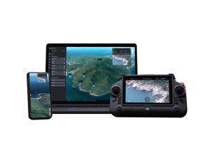
DJI Terra — Transform Drone Data into Digital Assets
DJI Terra converts drone imagery and LiDAR data into high-precision 2D maps, 3D models, and survey-grade deliverables.
It simplifies the mapping workflow for surveyors, engineers, and public safety teams, making professional reconstruction fast, reliable, and efficient.
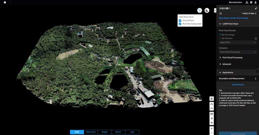
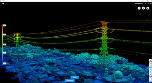
LiDAR Processing
Auto GCP Marking
Multispectral Mapping
Survey-Grade Accuracy
Cluster Processing
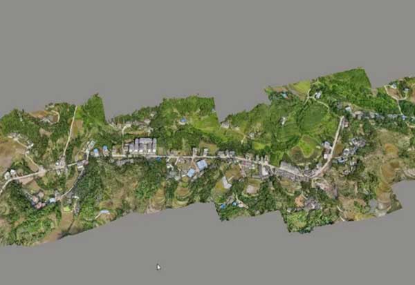
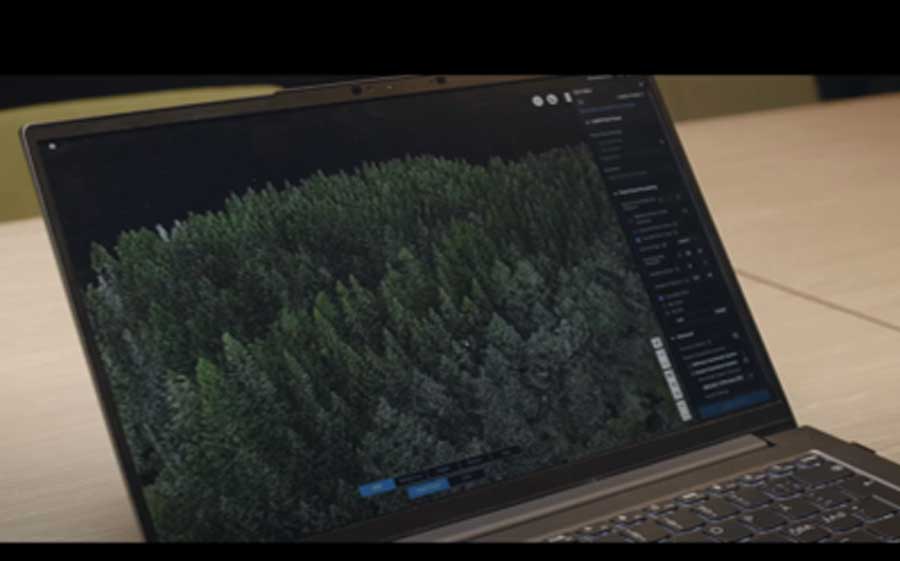
Photogrammetry
Generate orthophotos, DSM/DTM, and textured 3D meshes from RGB image sets with refined accuracy controls.
Streamlined import, quality presets, and advanced tie-point optimisation make data processing intuitive yet precise.
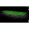
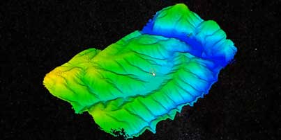
LiDAR Processing
Handle LiDAR datasets from payloads like the Zenmuse L2, automatically classifying ground points, thinning dense data,
and producing colourised DEMs and contour maps ready for engineering or GIS use.
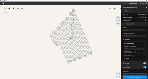
Auto GCP Marking
Reduce manual marking time using AI-assisted detection and adjustment tools.
Terra’s intelligent GCP recognition ensures fast, consistent alignment for survey-grade accuracy.
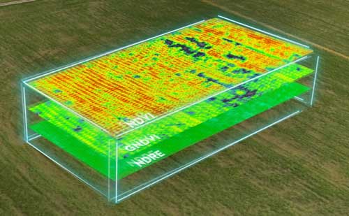
Multispectral Mapping
Create NDVI and NDRE indices for crop and vegetation analysis.
Generate health maps to support precision agriculture, forestry monitoring, and environmental surveys.
Versions and Licensing
Who Uses DJI Terra?
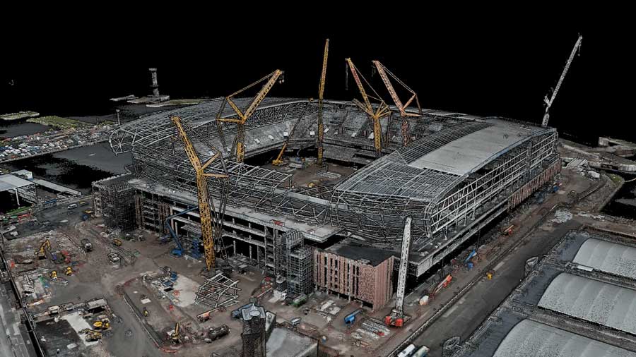
Land Surveying & AEC
Topographic mapping, stockpile measurement, progress tracking, and as-built verification.
DJI Terra supports accurate 3D reconstruction for BIM and engineering workflows.
Related Products
-

DJI Modify
Price range: £1,580.00 through £3,080.00 Select options This product has multiple variants. The options may be chosen on the product page -
DJI Flighthub 2
£5,000.00 Buy Now