Skip to content


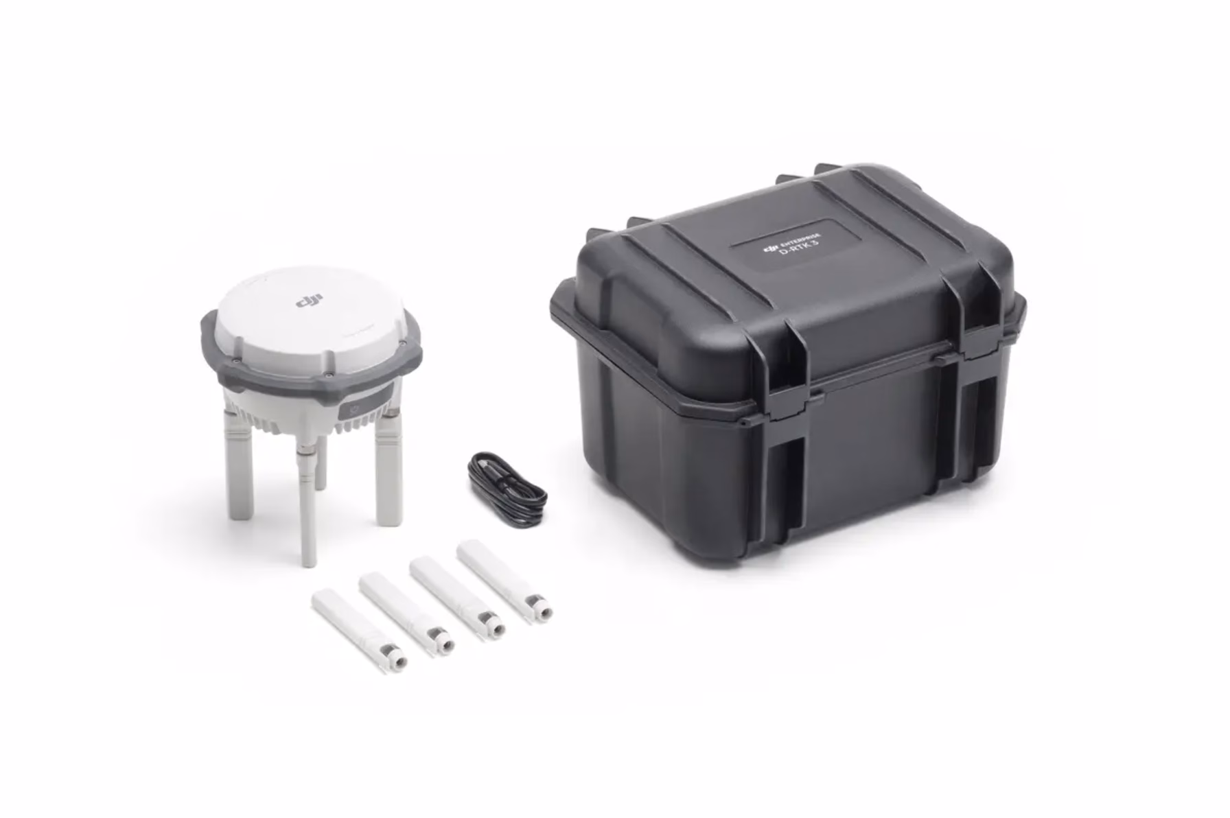
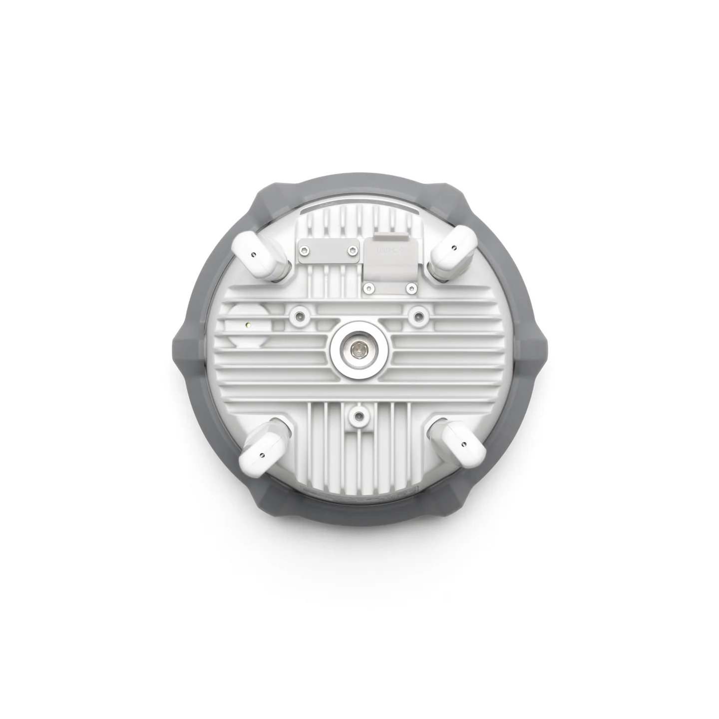
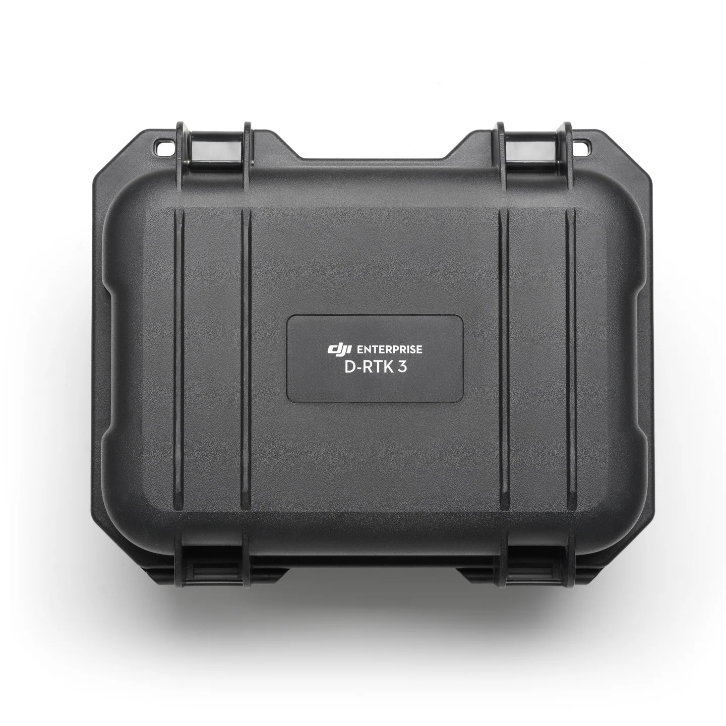
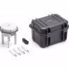


D-RTK 3 Multifunctional Station
£1,369.00
- Centimetre-level RTK positioning accuracy
- Supports Base, Rover & Relay modes
- Compatible with DJI Matrice & Agras drones
- IP67 weather-sealed, field-ready design
- Multi-hour battery with USB-C PD charging
DJI D-RTK 3 Multifunctional Station — Centimetre-Level Accuracy for UK Enterprise Teams
The DJI D-RTK 3 Multifunctional Station is a next-generation GNSS base station designed to deliver
centimetre-level positioning accuracy for complex surveys, mapping missions, automated flights,
and high-precision inspection work across the UK.
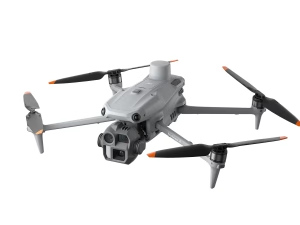
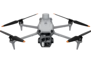
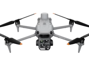
Built for the Matrice 4 Series and other DJI enterprise platforms, the D-RTK 3 supports
multi-constellation, dual-frequency GNSS, multi-drone broadcasting and rugged long-range operation —
ensuring stable, repeatable, survey-grade performance in construction, rail, utilities, telecoms, agriculture,
and emergency response environments.
Multi-Constellation GNSS
Dual-Frequency RTK
Multi-Drone Broadcast Mode
Long-Range Operation
Rugged Field-Ready Design
Seamless Matrice 4 Integration
Centimetre-Level RTK Accuracy for Mapping & Automation
The D-RTK 3 delivers true centimetre-class positioning, enabling survey-grade accuracy for:
- Construction & engineering site mapping
- Repeatable automated flight routes
- Digital twins & high-accuracy photogrammetry
- Precision inspections for utilities and infrastructure
Essential for workflows that demand absolute positioning accuracy rather than GNSS estimates.
Multi-Constellation, Dual-Frequency GNSS for UK Environments
Designed for reliability in difficult GNSS conditions, the D-RTK 3 supports:
- GPS, Galileo, GLONASS, BeiDou multi-constellation tracking
- Dual-frequency RTK for fast fixing + stability
- Reduced drift and interference impact in urban or industrial sites
- Stable positioning near metal structures, cranes, substations & towers
Built for the UK’s mixed terrain — from cities to open rural landscapes.

Multi-Drone Broadcast Mode for Fleet Operations
The D-RTK 3 can simultaneously provide high-precision corrections to
multiple aircraft at once, enabling:
- Coordinated fleet surveys
- Multi-UAV inspection teams
- High-volume, time-critical mapping projects
- Synchronised flights for engineering & infrastructure audits
Perfect for organisations deploying multiple Matrice 4 drones in parallel.
Rugged, Field-Ready & Built for Demanding Deployments
Engineered for UK-ready field operations, the D-RTK 3 offers:
- IP-rated weather resistance for rain, dust & cold
- High-gain antenna for extended range
- Fast deployment for on-site surveying teams
- Stable operation in harsh industrial environments
Built to operate reliably on construction sites, farmland, coastlines and critical infrastructure locations.

Example UK Use Cases
Surveying & Mapping
High-accuracy site surveys, boundary mapping and construction modelling.
Infrastructure Inspection
Utilities, telecoms, rail and energy sector asset inspections.
Automated Flight Operations
Repeatable missions, digital twins, multi-drone workflows and fleet operations.