 Skip to content


DJI Zenmuse L3 vs L2: Should You Upgrade?
A quick look at LiDAR, plus real-world differences that matter to enterprise users.
As LiDAR technology continues to evolve, surveying teams, construction firms, utilities, forestry contractors, and other enterprise organisations are increasingly turning to drone-based sensing for faster, safer, and more accurate data capture. With the arrival of the new DJI Zenmuse L3, many teams are now asking: Is it worth upgrading from the Zenmuse L2?
Before we compare them, here’s a very quick look at what LiDAR actually does.
What LiDAR Actually Is (Short Version)
LiDAR (Light Detection and Ranging) uses pulsed laser beams to measure distance with high precision. Mounted on a drone, it generates dense, accurate 3D point clouds that map terrain, infrastructure, and vegetation — even through canopy cover.
- Where it shines: forestry analysis, powerline inspection, construction progress, flood modelling, volumetrics.
- Key advantages: survey-grade accuracy, vegetation penetration, reliable low-light capture, fast field workflows.
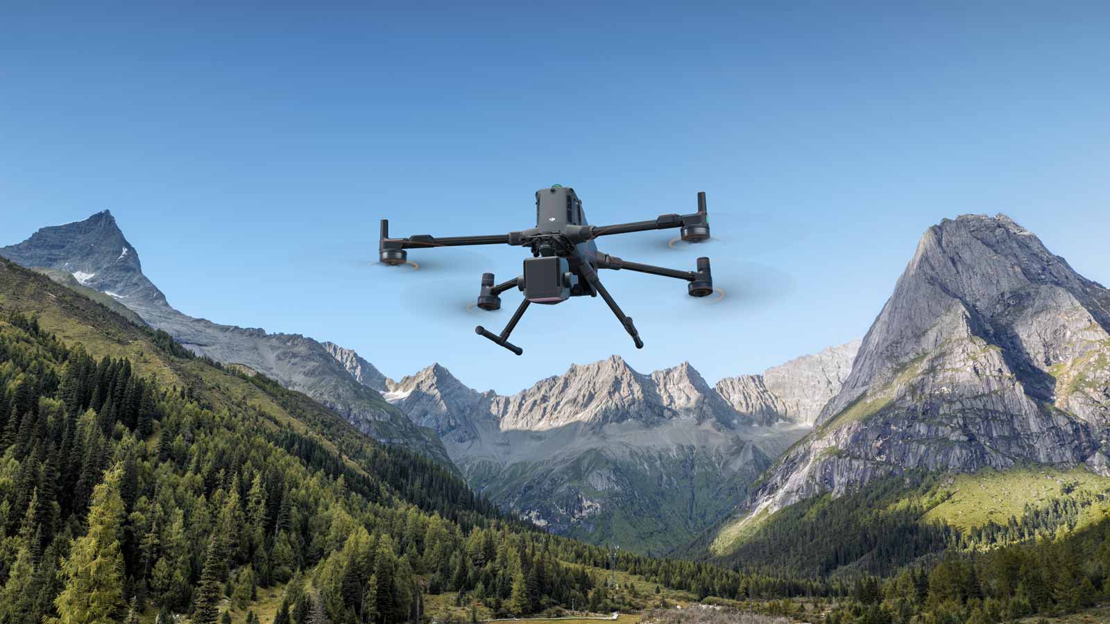
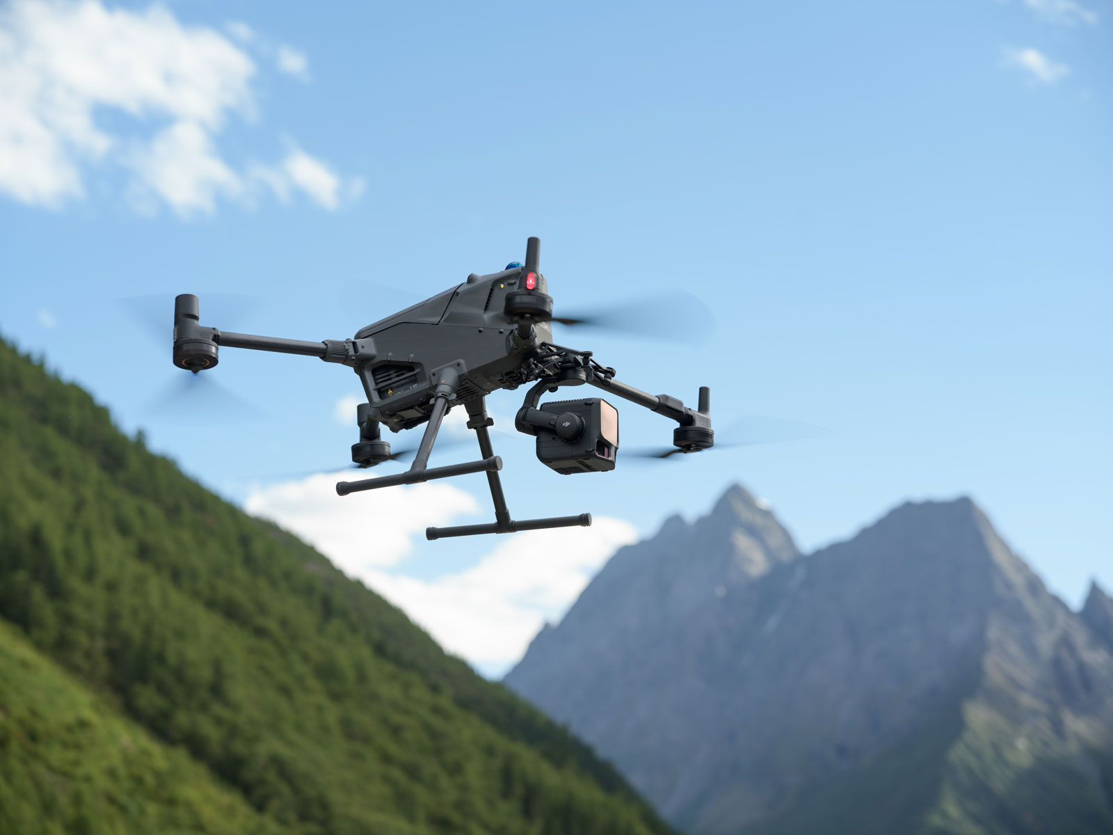
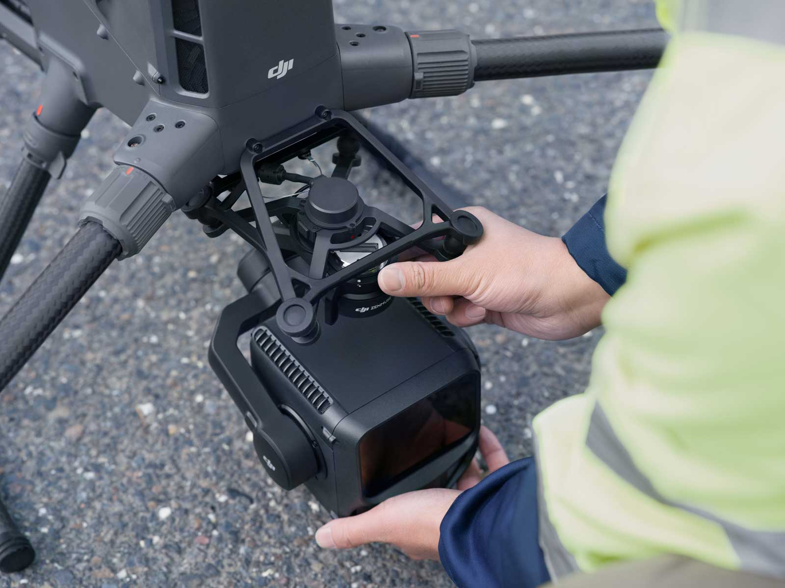
Introducing the DJI Zenmuse L3
The Zenmuse L3 is DJI’s latest LiDAR payload, designed exclusively for the DJI Matrice 400.
View the payload: DJI Zenmuse L3
Quick Recap: Zenmuse L2
The Zenmuse L2 remains highly accurate and reliable across many professional workflows, particularly where teams operate Matrice 300/350 platforms. Explore Zenmuse L2.
Compatibility: A Key Difference
- Zenmuse L2 → Matrice 300 RTK / 350 RTK
- Zenmuse L3 → Matrice 400 only
Explore the M400 range: M400 category · Matrice 400 product
L3 vs L2 — At-a-Glance Comparison
| Feature | Zenmuse L2 | Zenmuse L3 |
|---|---|---|
| Drone compatibility | M300 RTK / M350 RTK | M400 only |
| Max detection range | Up to 450 m | Up to 950 m @ 10% reflectivity, 100 klx |
| Laser divergence (spot size) | Approx. 4 × 12 cm @ 100 m | 0.25 mrad (~⅕ the spot size at range) |
| Pulse rate | Up to 1.2M pts/s (multi-return) | Up to 2M pts/s emission frequency |
| Max returns | 5 | 16 |
| Scanning modes | Linear | Linear / Star-Shaped / Non-Repetitive |
| Camera system | Single 20 MP 4/3 CMOS | Dual 100 MP 4/3 CMOS |
| Field of View (RGB) | Standard mapping FOV | 107° horizontal |
| Accuracy at altitude | Vertical 4 cm @ 150 m | <3 cm @ 120 m, <10 cm @ 500 m |
| Point cloud thickness | Standard fidelity | ~50% thinner for cleaner surfaces |
| Daily mapping efficiency | ~2.5 km² per flight* | Up to 100 km²/day @ 300 m |
| Vegetation penetration | Very good | Significantly improved |
Data Quality in Challenging Environments
The L3 excels across dense woodland, uneven terrain, complex structures, and low-light capture. Its improved laser energy and reduced divergence enable tighter surface reconstruction with fewer artefacts.
Efficiency at Scale
- Up to 10 km² per flight @ 300 m
- Up to 100 km² surveyed per operational day
- Fewer flight passes required for the same deliverables
This results in lower labour costs, reduced aircraft wear, and faster client delivery times.
Headline Specifications (Zenmuse L3)
- 950 m maximum detection range
- 0.25 mrad divergence for fine-detail detection
- Up to 2M pts/s pulse emission
- Up to 16 returns per pulse
- Linear / Star-Shaped / Non-Repetitive scanning
- Dual 100 MP RGB cameras
- 107° horizontal FOV
- <3 cm vertical accuracy @ 120 m
- 3 cm GSD @ 300 m altitude
- ~50% thinner point cloud thickness vs L2
- 150 m ranging repeatability at 5 mm (1σ)
- Microsecond-level time synchronisation
Workflow Integration
When paired with DJI Terra, Modify, and FlightHub 2, the L3 forms a single end-to-end workflow spanning planning, capture, processing, and visualisation — eliminating the friction seen in multi-vendor setups.
Who Should Consider the L3?
- Forestry and vegetation-heavy environments
- Powerline and utility inspection
- Survey-grade terrain modelling
- Large-scale, high-volume mapping
- Teams migrating to the M400 platform
Who Can Comfortably Stay on the L2?
- Open-terrain mapping with predictable surfaces
- Teams standardised on M300/M350 fleets
- Cost-sensitive projects where L2 already meets requirements
Future-Proofing Considerations
The M400 platform signals DJI’s next generation of enterprise payloads. Early adopters stand to benefit as support shifts toward newer aircraft.
Verdict
The DJI Zenmuse L3 elevates LiDAR performance with longer range, higher pulse rates, deeper vegetation penetration, advanced scanning modes, and dual 100 MP RGB capture — all of which combine to dramatically improve mapping efficiency. The L2 remains an excellent, cost-effective option, but for teams adopting the M400, the L3 offers a clear operational advantage.