


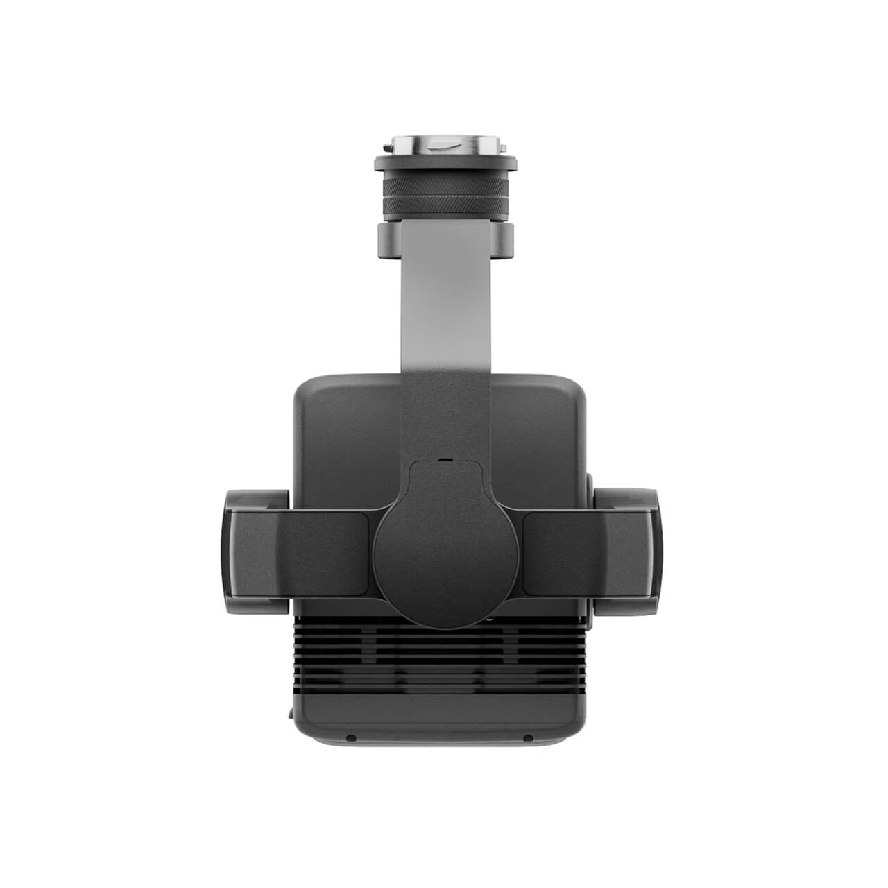
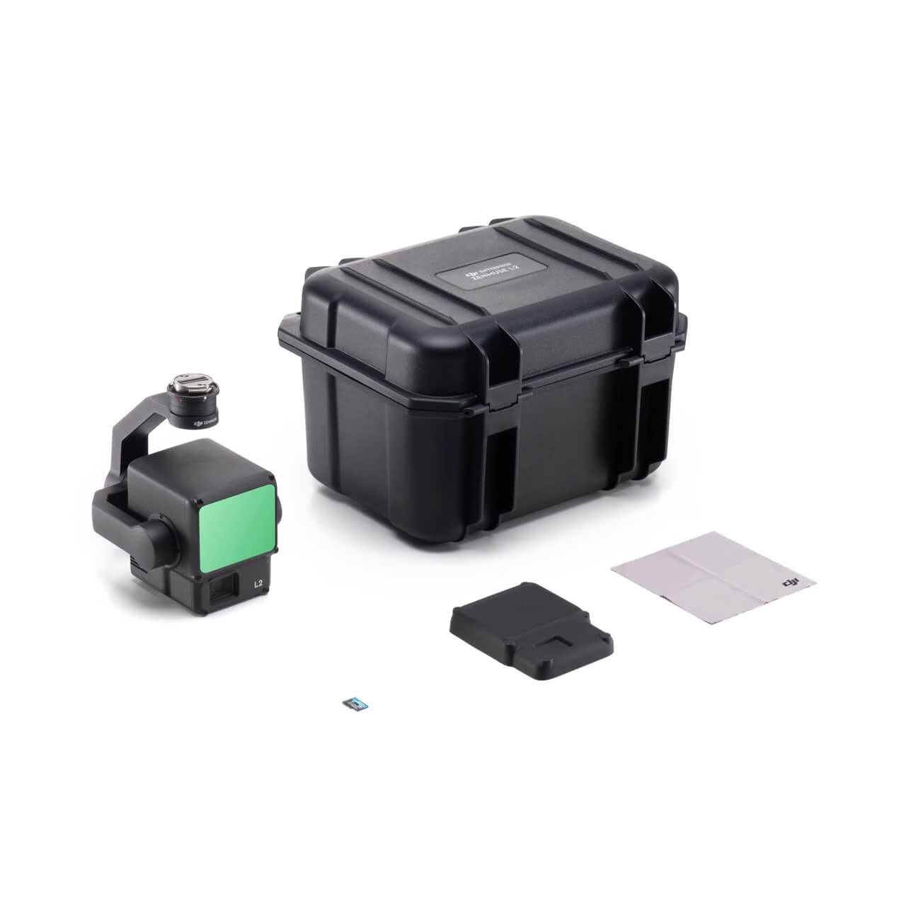
DJI Zenmuse L2
£11,341.00
- For DJI Matrice 300, 350 & 400
- Extremely High Precision
- Superior Penetration
- 2.5km² Area In A Single Flight
- Max Detection Range Of Up To 250m
- IP54 Rated
- Includes 1 Year of DJI Care Enterprise Basic
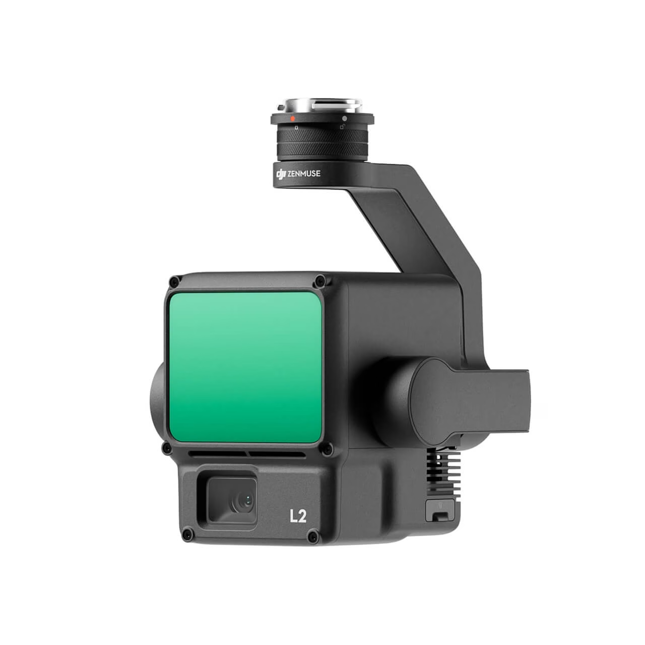
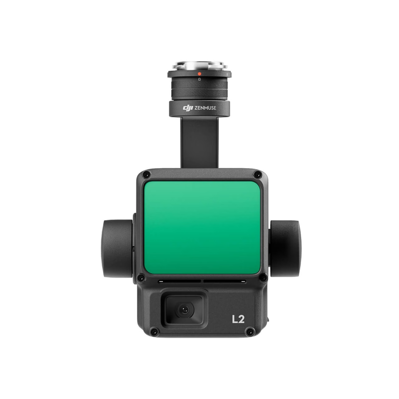
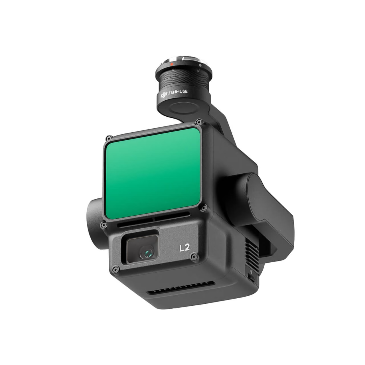
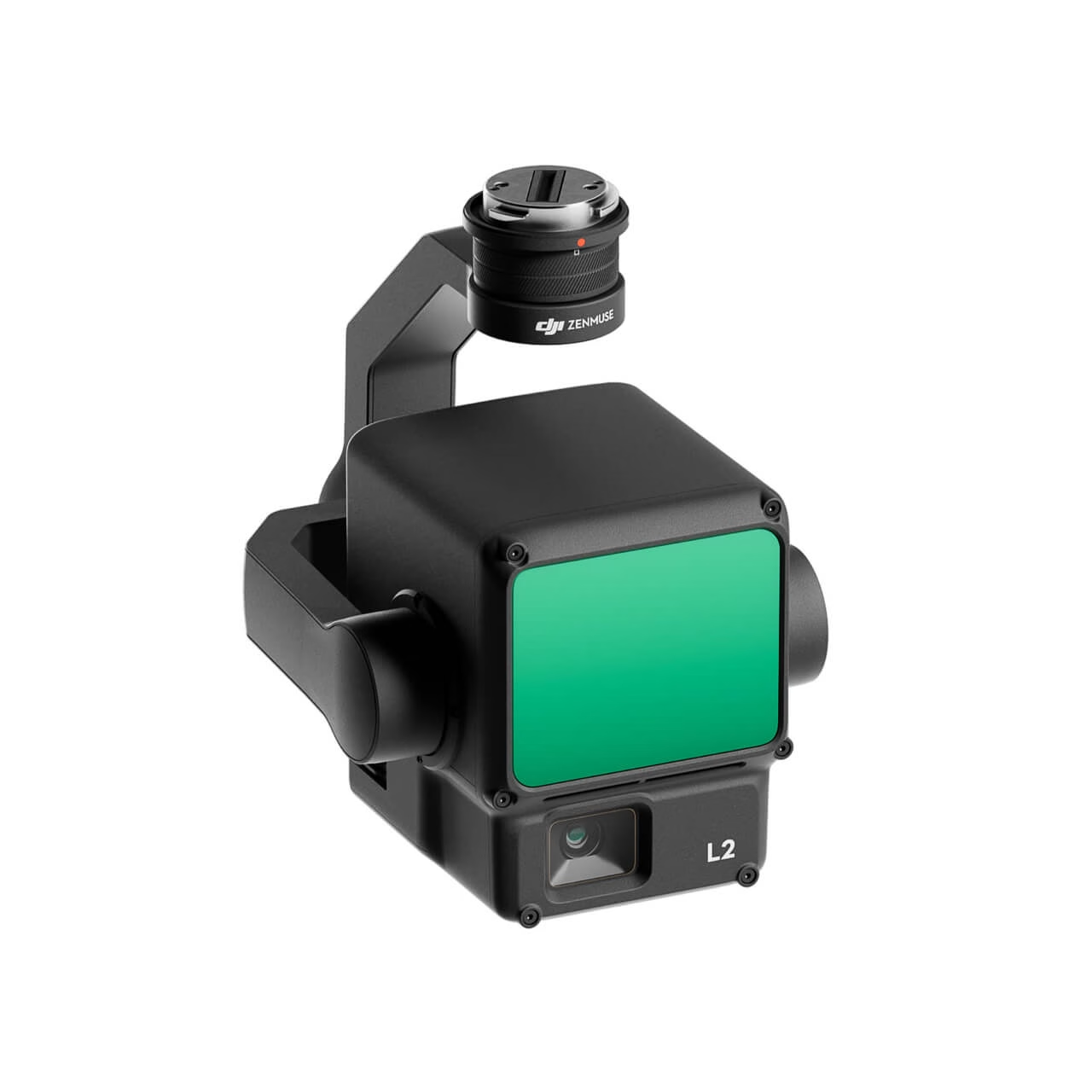
DJI Zenmuse L2 — Aerial LiDAR & True-Colour Mapping Payload
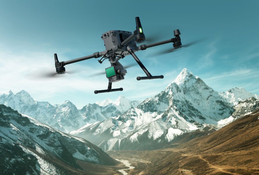
The DJI Zenmuse L2 marks a major evolution in airborne geospatial data capture, integrating a high-performance frame LiDAR module, a custom self-developed high-accuracy IMU system, and a 4/3″ CMOS RGB mapping camera onto a 3-axis stabilised gimbal. This all-in-one powerhouse delivers rapid, turnkey 3D point clouds with exceptional color fidelity for complex terrain modelling, structural inspections, forestry management, and heavy industrial surveying. Authorized and supported by Drone Sales UK.
4/3″ CMOS RGB Mapping Camera
4 cm Vertical Accuracy
Up to 5 Returns Supported
450 m Detection Range
2.5 km² Single-Flight Coverage
Next-Generation 3D Precision Engineering
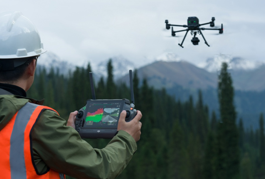
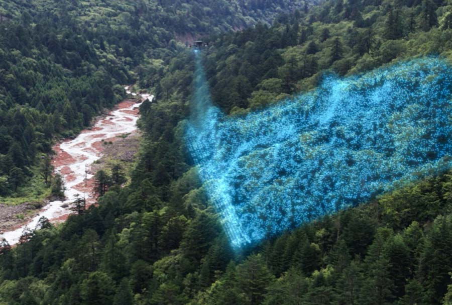
Traditional photogrammetry struggles when dealing with heavy ground cover or complex vertical structures. The Zenmuse L2 bypasses these limitations completely by firing precise laser pulses that pierce right through dense leaves and brush to capture true ground elevations. Backed by an improved internal IMU system that requires absolutely zero warm-up time upon power-up, operators can begin surveying immediately to maximize time in the field.
- Delivers rigorous vertical accuracy down to 4 cm and horizontal accuracy to 5 cm without reliance on extensive GCP frameworks
- Enhanced detection threshold scans targets efficiently from distances up to 450 meters away
- Generates dense, colorized 3D point clouds in real-time, giving on-site crews instant quality verification
Advanced Canopy Penetration & Forestry Mapping
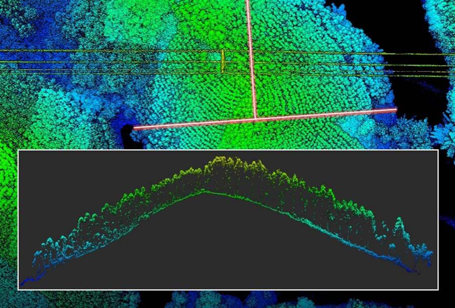
Equipped with multi-return tracking, the L2 breaks through complex canopies to capture highly accurate Digital Terrain Models (DTMs).
- 5-Return Multi-Echo Laser: Captures structural details through multiple dense layers of leaves and undergrowth.
- Thorough Ground Classification: Strips away top-level vegetation profiles to yield exact bare-earth surface elevations.
- Resource Tracking: Measures tree height data, crown cover volumes, and timber density metrics effortlessly.
Ultra-Fine Point Clouds for Critical Infrastructure
For utility grids and complex power asset management, the L2 delivers an incredibly small laser spot size ($15 \times 12\text{ cm}$ at 100 meters), isolating thin overhead structures cleanly.
- Power Line Extraction: Maps sag tolerances, cross-arm structures, and clearance issues across utility corridors.
- Asset Structural Modeling: Creates sharp point clouds of towers, pylons, and cell structures with minimal noise.
- Vegetation Encroachment Alerts: Isolates potential danger trees near active lines before they trigger system failures.
High-Speed Volumetrics & Mining Efficiency
Covering vast environments in single flights, the L2 simplifies continuous structural audits and volumetric checks across open-cast quarries.
- True-Color Imagery Overlay: Integrated 4/3″ CMOS sensor wraps realistic RGB photo textures over raw point coordinates.
- Accelerated Turnaround Speeds: Scans up to 2.5 km² in a single flight to replace time-intensive ground surveys.
- Seamless Processing: Imports directly into DJI Terra for unified, highly accelerated 3D model generation.
Pro Tip: Unlike its predecessor, the Zenmuse L2 features an improved IMU system that does not require field calibration maneuvers before takeoff. For optimal precision on high-accuracy survey projects, always pair your flights with active RTK corrections and utilize DJI Terra for post-processed kinematics (PPK).
How the Zenmuse L2 Compares to Industry Alternatives
Selecting the proper enterprise payload depends entirely on your structural targets and environment. Below is a breakdown of how the Zenmuse L2 performs against its predecessor and flagship photogrammetry options.
| Feature / Spec | Zenmuse L2 (LiDAR + RGB) | Zenmuse L1 (Previous Gen) | Zenmuse P1 (Photogrammetry) |
|---|---|---|---|
| Detection Range | 450 m @ 5% reflectivity | 450 m @ 80% reflectivity | N/A (Optical Lens Dependent) |
| Max Returns Supported | Up to 5 Returns | Up to 3 Returns | N/A (Optical Mapping Only) |
| RGB Mapping Camera | 20 MP 4/3″ CMOS (Mechanical Shutter) | 20 MP 1-inch CMOS | 45 MP Full-Frame (35mm) |
| IMU Initialization | Instant: No warm-up or field maneuvers required. | Requires 5-minute warm-up plus calibration flights. | Standard tracking via TimeSync 2.0 links. |
| Best Suited For | Dense canopy penetration & narrow utility tracking. | Basic terrain modeling and entry-level LiDAR work. | High-resolution 2D/3D orthomosaic models. |
What is the Zenmuse L2 and what’s included?›
The Zenmuse L2 is a drone-mounted LiDAR payload that integrates a frame-based LiDAR scanner, a high-accuracy IMU, and a 4/3″ 20 MP RGB mapping camera on a 3-axis gimbal. It’s designed for precise 3D data capture and aerial surveying.
What point rate and returns does L2 support?›
The system supports up to 240,000 points per second for single returns and up to 1,200,000 points per second in multi-return mode, with a maximum of 5 returns per pulse depending on the environment.
What system accuracy can I expect?›
With proper RTK or PPK setup, the L2 can achieve horizontal accuracy of approximately 5 cm and vertical accuracy of approximately 4 cm under typical flight conditions.
What is the detection range and laser spot size?›
The L2 can detect objects up to around 450 m away under optimal conditions. The laser spot size is approximately 4 × 12 cm at 100 m, offering improved detail and accuracy over previous models.
How much area can L2 cover per flight?›
Depending on overlap, flight speed and height, the L2 can cover up to approximately 2.5 km² in a single flight under standard survey conditions.
What are the specs of the RGB camera?›
The RGB camera features a 4/3″ CMOS sensor with 20 MP resolution, 24 mm equivalent focal length, f/2.8–f/11 aperture, mechanical shutter, and a minimum photo interval of about 0.7 seconds.
Can the RGB camera be used independently of LiDAR?›
Yes, the RGB camera can be used separately for mapping and inspection tasks, or to colourise point clouds post-processing.
How accurate is the onboard IMU?›
The L2’s self-developed IMU provides real-time yaw accuracy of about 0.2°, pitch and roll of about 0.05°. Post-processing can further improve these to approximately 0.05° yaw and 0.025° pitch/roll.
Which drones are compatible with Zenmuse L2?›
The L2 is compatible with the Matrice 350 RTK and Matrice 300 RTK drones, using the DJI RC Plus controller. Always confirm firmware compatibility before use.
Can it perform in challenging lighting or terrain?›
The L2 handles a wide range of lighting and terrain conditions, including forest canopy penetration and low-reflectivity surfaces, thanks to its high return rate and multi-echo capabilities.
Can I achieve survey-grade results without GCPs?›
Yes, with proper RTK or PPK setup, survey-grade results are possible. However, ground check points are still advised to verify accuracy whe
DJI Zenmuse L2 — Aerial LiDAR & Mapping Payload Specifications
The ultimate evolution in high-precision geospatial data acquisition. Merging frame-based LiDAR technology, a high-frequency internal IMU system, and a 4/3 CMOS RGB mapping camera, the Zenmuse L2 delivers turn-key 3D point cloud generation, exceptional penetration through dense canopy layers, and millimeter-level data logging accuracy.
20 MP 4/3 CMOS Survey Camera
5 Multi-Return Laser Eco-Scanning
4 cm Vertical / 5 cm Horiz. Accuracy
450 m Maximum Detection Range
IP54 Weatherized Structural Hull
General Architecture & Flight Platform Mapping
- Physical Footprint: Highly streamlined, rigid payload housing measuring 155×128×176 mm. Total net platform weight is locked at 905 ± 5 grams.
- Power Requirements: Efficient core balancing pulling a typical operating draw of 28 W, with a peak consumption limit capping at 58 W.
- Environmental Hardening: Lab-certified with an IP54 protection rating under standard IEC 60529 benchmarks to insulate precision tracking components from airborne dust particles and light moisture misting.
- Supported Aircraft Systems: Engineered specifically to adapt natively to the Matrice 350 RTK and Matrice 400 flight frames. Natively backward compatible with the Matrice 300 RTK platform when strictly operated via the DJI RC Plus controller. Mounts smoothly via a detachable DJI SKYPORT mechanical hot-swap ring.
- Temperature Tolerance: Designed to maintain continuous data capture integrity in operating zones spanning -20° to 50° C (-4° to 122° F) with safe offline storage limits spanning -20° to 60° C.
Advanced LiDAR Core & Scanning System Performance
- Detection Range Capacity: Captures objects up to 450 m away at 50% target reflectivity (measured under 0 klx ambient lighting). Retains an extensive 250 m boundary range even at a tight 10% reflectivity index under blistering 100 klx direct daylight sweeps. Absolute mechanical maximum detection limit is 500 m.
- Point Cloud Return Pumping: Generates a maximum flow rate of 240,000 points per second under single return configuration, scaling up to a staggering maximum point cloud rate of 1,200,000 points per second when processing multiple signal reflections.
- Multi-Target Penetration: Natively tracks up to 5 discrete echoes per laser pulse emission, allowing deep canopy penetration to capture precise true-ground topography models.
- Precision System Accuracy: Achieves a vertical absolute accuracy profile of 4 cm and horizontal boundary precision of 5 cm when flying missions at a relative altitude of 150 m (evaluated at 15 m/s speed with DJI Terra Optimize Point Cloud Accuracy enabled).
- LiDAR Ranging Precision: Raw structural ranging accuracy registers a tight Root Mean Square (RMS 1σ) variance of 2 cm at a reference distance of 150 m. Minimum functional range tracking activates at 3 m.
- Scanning Versatility Profiles: Offers dual operational scan mechanisms:
- Repetitive Scanning Pattern: Fixed coverage mapping spanning a 70° Horizontal by 3° Vertical field of view (FOV).
- Non-Repetitive Scanning Pattern: Aggressive multi-angle swath generation spreading across a wide 70° Horizontal by 75° Vertical FOV.
- Laser Array Properties: Emits safe 905 nm wavelength pulses backed by a Class 1 (IEC 60825-1:2014) regulatory safety profile. Accessible Emission Limit (AEL) is rated at 233.59 nJ with a 23.85 mm effective aperture. Max pulse emission power spikes up to 46.718 W within a 5 ns window.
- Laser Spot Footprint: Low-divergence beam array measures 0.2 mrad horizontally by 0.6 mrad vertically (divergence expands beam diameter by 6 cm for every 100 m traveled). Physical spot resolution hits roughly 4×12 cm at a 100 m distance marker.
- Real-Time Modeling Color-Coding: Pushes live color-mapped point stream overlays to the remote pilot screen, selectable by target Reflectivity, absolute Height, Distance, or true optical RGB value grids.
Integrated High-Frequency IMU & GNSS Positioning Core
- IMU System Update Frequency: Pushes a high-speed telemetry update rate of 200 Hz to lock real-time attitude profile updates into data streams.
- Sensor Measuring Ranges: Internal physical accelerometer threshold spans up to ±6 g. The core angular velocity meter tracks extreme aircraft movement profiles up to ±300 dps.
- Absolute Positioning Precision: Harnesses high-sensitivity multi-band GNSS tracking. When locked under full satellite RTK FIX status, structural horizontal accuracy reaches 1 cm + 1 ppm, while vertical alignment achieves 1.5 cm + 1 ppm.
RGB Mapping Camera & Gimbal Mechanics
- Premium Photogrammetry Sensor: Features a large 4/3 CMOS image sensor packing 20 MP of effective structural mapping pixels.
- Mapping Optics Layout: Utilizes an expansive 84° horizontal FOV lens system with a 24 mm standard format equivalent focal length. Variable mechanical aperture ranges dynamically between f/2.8 and f/11. Autofocus mapping tracks from 1 m out to infinity.
- Industrial Grade Mechanical Shutter: Eliminates pixel-warping rolling-shutter distortion during high-speed mapping runs. Mechanical shutter parameters range from 2 s down to 1/2000 s (electronic sensor shutter speeds stretch down to 1/8000 s). Operational lifecycles are rated for an industrial 200,000 exposure count.
- Data Capturing Modes: Generates crisp 5280×3956 standalone photo files in clean JPEG or uncompressed DNG (RAW) formats. Supports continuous JPEG timed intervals as fast as 0.7 seconds, scaling to a stable 2-second buffer threshold for simultaneous RAW data logging.
- Mapping Video Streams: Captures ultra-HD MP4 recordings across selectable H.264/H.265 compression profiles. Day mapping handles 4K resolution at 30fps (85 Mbps bitrate tracking) or standard FHD 1080p at 30fps (30 Mbps bitrate tracking). Sensor ISO scales cleanly from 100 to 6400 across both photo and video arrays.
- 3-Axis Gimbal Control: Highly responsive tilt, roll, and pan mechanical stabilization framework. Controls fine angular vibration down to a tight ±0.01° layer. Operating modes support Follow, Free, and rapid automated Re-center behaviors.
- Gimbal Boundaries: Provides a controllable operation tracking range from -120° to +30° on the Tilt axis and a Pan sweep capacity of ±90° (Mechanical structural limits allow a tilt range of -143° to +43° and physical pan parameters up to ±105°).
Storage Protocols & Desktop Post-Processing Data Formats
- Raw Mission Storage Pipeline: Intelligently packs unified file frameworks directly onto internal memory, keeping raw photo files, IMU coordinate updates, point cloud indexing streams, GNSS spatial tracking arrays, and payload calibration parameters grouped within clean folder paths.
- Memory Requirements & Formatting: Demands exFAT formatting over heavy-duty microSD memory hardware. Storage cards must feature a minimum sequential write speed threshold of 50 MB/s alongside a UHS-I Speed Grade 3 (or above) rating. Maximum capacity is restricted to a 256 GB limit. Officially recommended cards include Lexar 1066x and Kingston Canvas Go! Plus series.
- Post-Processing Ecosystem: Merges data streams directly into DJI Terra mapping software to construct orthomosaics, volumetric models, and accurate terrain profiles. Point cloud extraction routines support exporting models into industry-standard PNTS, LAS, PLY, PCD, and S3MB spatial point file formats.
* Real-world laser pulse measurement boundaries are subject to variance depending on the target material layout, shape geometries, weather environments like active rain showers, and environmental light interference. Split reflections caused by striking multi-layered subjects will naturally reduce total maximum detection distance thresholds. Always clean the LiDAR transmission optical glass housing using specialized lint-free cloths at the end of daily field operations.
Downloads

Windows Version

Windows Version
Windows Version
Firmware Update
Firmware Update
Firmware Update
Firmware Update
Firmware Update
Firmware Update
Firmware Update
Firmware Update
Related Products
-
Zenmuse X7 DJI DL 24mm
£1,299.00 Buy Now -
Zenmuse X7 DJI DL 50mm
£1,199.00 Buy Now -
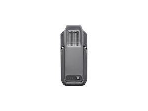
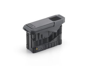
TB100 Flight Battery
£1,320.00 Buy Now -
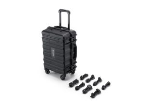
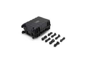
DJI BS100 Intelligent Battery Station
£1,150.00 Buy Now -
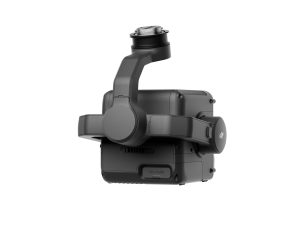
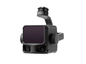
DJI Zenmuse L3
£13,150.00 Buy Now -


DJI M400 Surveying & Mapping Pro
£33,407.00 Buy Now -


DJI M400 Inspection & Infrastructure
£21,210.00 Buy Now -
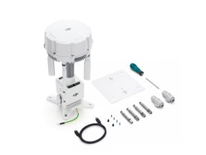
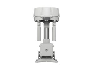
DJI O4 Ground Station
£1,880.00 Buy Now -
Manifold 3
£1,160.00 Buy Now -
DJI AP100 Parachute
£1,010.00 Buy Now