Multi-Gas Detection & Mapping Drone System
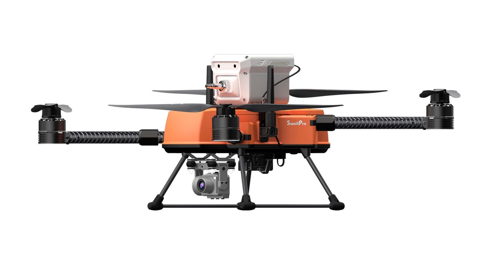
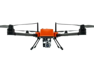
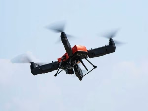
SwellPro FD2 Enterprise + Sniffer4D
Seamlessly integrated with the Soarability Sniffer4D V2 air quality sensor, the SwellPro FD2 Enterprise drone revolutionises the way we detect and monitor air pollution. This system delivers exceptional reliability, precision, and efficiency, allowing professionals to quickly locate and map polluted areas with reduced costs and risks.
SwellPro FD2 Enterprise
- 3.5 KG Payload Capacity
- 28 Mins Flight Time
- IP67 Saltwater-proof
- 1.5 KM Flight Range
- Level 6 Wind Resistance
- Calibration-free
- 4K Gimbal Camera
- Foldable Design
Sniffer4D
The Sniffer4D V2 air quality sensor can detect up to 9 gases simultaneously with precise gas concentration, time, and geographic data. Its compact, lightweight design ensures compatibility with the SwellPro FD2 Enterprise drone, without compromising flight performance.
Parameters Available:
- TVOC, SO₂, CO, NO₂, O₃, PM1.0, PM2.5, PM10, CxHy / CH₄ / LEL, H₂S, HCl, TSP/PM100, NH₃, CO₂, HCN, H₂, PH₃, Cl₂, O₂, NO, Odor (OU), High-resolution CH₄, Wind Speed & Direction, Nuclear Radiation, Gas Sampling
One-Stop Air Quality Monitoring Solution
- Install Sniffer4D V2 to SwellPro FD2 Enterprise in just a few minutes.
- Turn large data sets into digestible reports with a tap on the app.
- Sniffer4D Mapper software analyzes and visualises data in real-time.
- Fly to desired location and collect air pollution data.
- Automatically store data on internal SD card for post-mission analysis.
- Send real-time data via 4G to a cloud server (if a SIM card is installed).
Advanced Air Quality Monitoring Capabilities
The FD2 Enterprise Sniffer Drone is a cutting-edge solution for comprehensive air quality monitoring. Equipped with the Sniffer4D V2 air quality sensor, it can detect up to nine gases simultaneously, including TVOC, SO₂, CO, NO₂, and O₃. This capability allows for precise measurement of gas concentrations, time, and geographic data, providing a detailed overview of environmental conditions. The compact and lightweight design of the Sniffer4D V2 ensures seamless integration with the SwellPro FD2 Enterprise drone, maintaining optimal flight performance without compromising on functionality. This integration enables professionals to conduct thorough air quality assessments efficiently, reducing both costs and risks associated with traditional monitoring methods.
Real-Time Data Visualisation and Analysis
One of the standout features of the FD2 Enterprise Sniffer Drone is its ability to provide real-time data visualisation through the Sniffer4D Mapper software. As the drone collects air pollution data during flight, the software analyses and displays this information instantly in various formats, including 2D grid, 2D isoline, and 3D point cloud maps. This immediate visualization offers professionals intuitive and insightful information, enabling rapid identification of pollution sources and facilitating prompt decision-making. Additionally, the system supports real-time data transmission via 4G to a cloud server, ensuring that stakeholders have access to up-to-date information regardless of their location.
Versatile Applications Across Industries
The versatility of the FD2 Enterprise Sniffer Drone makes it an invaluable tool across various industries. In industrial emission monitoring, it enables the detection and mapping of pollutants, assisting in compliance with environmental regulations. During disaster response scenarios, the drone can quickly assess air quality to ensure the safety of rescue teams and affected populations. Environmental researchers benefit from its ability to collect precise data on air pollutants, aiding in studies related to climate change and public health. In the oil and gas sector, the drone facilitates pipeline inspections by identifying potential gas leaks, thereby preventing environmental hazards. Furthermore, it is instrumental in monitoring emissions from marine crafts and construction sites, promoting sustainable practices and regulatory adherence.
| Secure the Sniffer4D V2 into a quick-release mechanism on the top of the drone. | A power cable connects the Sniffer4D V2 to the drone’s power supply. |
 |  |
Mapping Out The Full Picture
The Sniffer4D Mapper software instantly visualises data from one or more Sniffer4D air sensors in three formats: 2D grid, 2D isoline, and 3D point cloud map. This map provides professionals with intuitive and insightful information, enabling rapid pinpointing of pollution sources.
Applications
Industrial Emission Monitoring | Disaster Response |
Environmental Research | Oil & Gas Pipeline Inspection |
Marine Craft Emission Monitoring | Construction Site Monitoring |
Related Products
-
Emergency Buoy
£109.00 Buy Now -
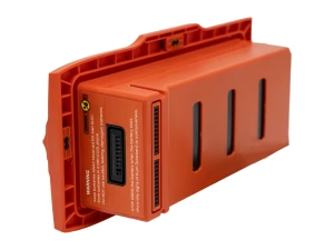
FD2 Battery
£229.00 Buy Now -
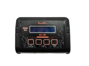
FD2 Battery Charger
£99.00 Read more -
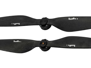
FD2 Propellers
£89.00 Read more -
Sale!
FFD Fish Finder
£169.00Original price was: £169.00.£160.55Current price is: £160.55. Buy Now -
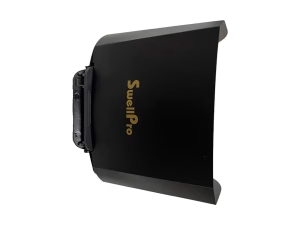
Fisherman Controller Sun Shade (FD2/FD3)
£45.00 Read more -
Fisherman Max (FD2)
£1,999.00 – £3,035.00Price range: £1,999.00 through £3,035.00 Select options This product has multiple variants. The options may be chosen on the product page -
Fisherman Max (FD2) Float System
£99.00 Read more -
Trollsafe
£33.00 Buy Now -
Waterproof Membrane
£21.73 Select options This product has multiple variants. The options may be chosen on the product page


