


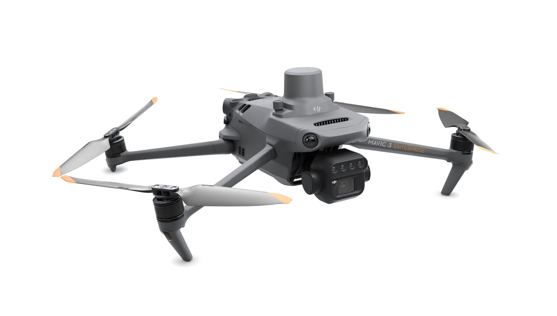
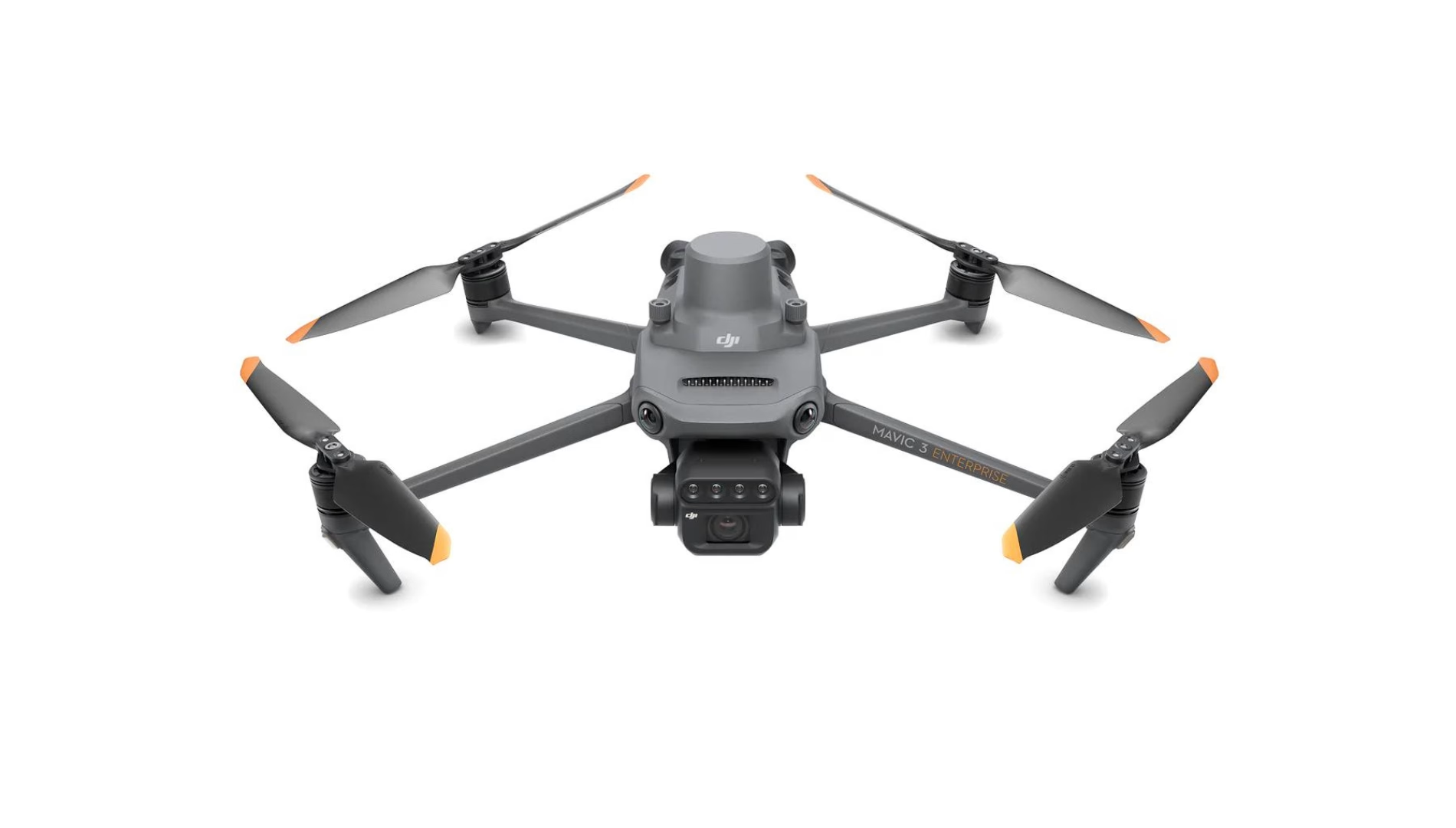
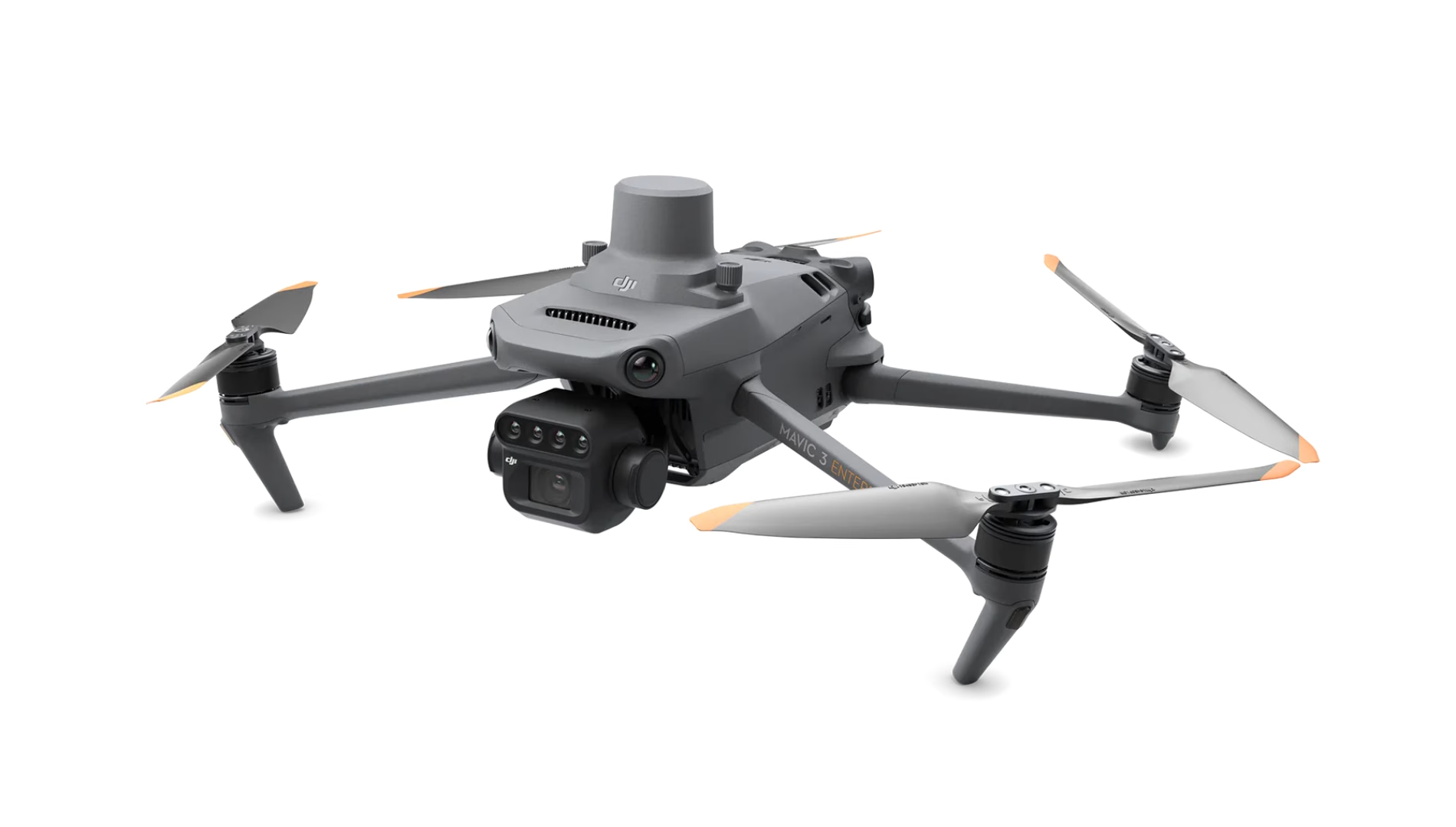

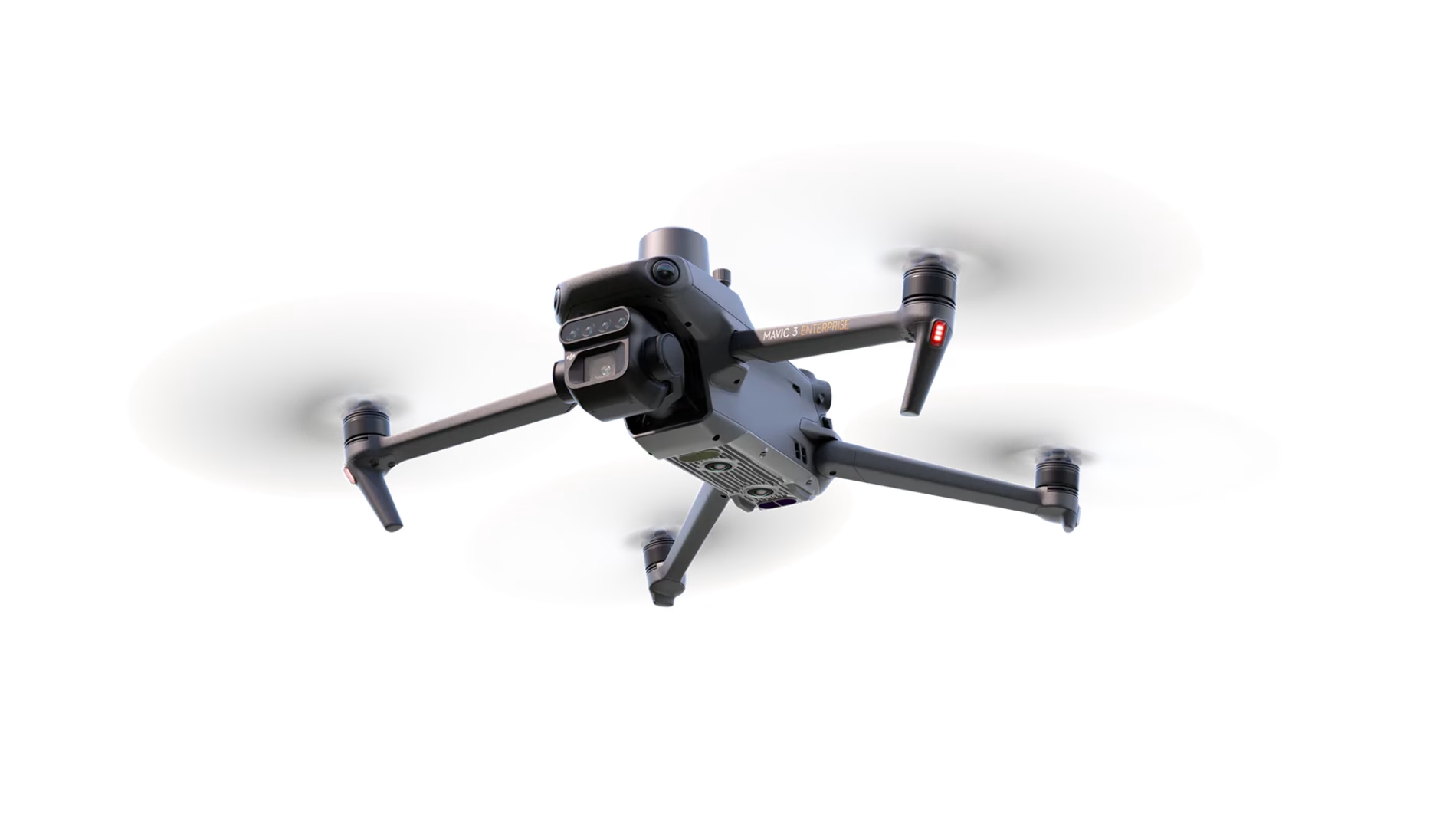
DJI Mavic 3 Multispectral
£3,926.00
- Realtime NDVI
- 4x 5MP spectral bands
- 20MP RGB camera
- Realtime terrain-follow
- RTK with centimetre-level accuracy
- DJI SmartFarms software
DJI Mavic 3 Multispectral (M3M) — Advanced Precision Agriculture Platform
The DJI Mavic 3 Multispectral (M3M) brings industrial-grade crop sensing and high-precision mapping into a portable, deployment-ready package. See beyond visible light. The M3M pairs an RGB camera with a four-band multispectral system to reveal crop status with clarity — backed by a sunlight sensor and RTK for dependable, repeatable mapping. Authorised and supported by Drone Sales UK.
G / R / RE / NIR (4×5 MP)
RTK cm-level Positioning
Up to 43 min Flight Time
Integrated Sunlight Sensor
Omnidirectional Sensing
RTK for Survey-Grade Precision
Centimetre-level positioning with microsecond-level time synchronisation completely eliminates the need for intensive ground control networks. The RTK module syncs directly with the flight control and camera triggers to ensure every single frame is geotagged precisely at the optical centre. This structural accuracy forms the clean foundation required to generate reliable prescription maps across consecutive crop cycles.
- Supports native RTK and NTRIP connectivity for sub-inch imagery tagging.
- Mechanical RGB shutter operates at high speeds with zero rolling-shutter motion blur.
- Outputs data perfectly optimised for DJI Terra and DJI SmartFarm analytical environments.
Interactive Application Explorer
Click the buttons below to dynamically view operational modes and specific crop analytics.
Precision Variable-Rate Application Guidance
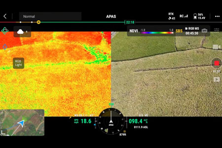
Capture precise, non-visible light spectrums for wheat, oilseed rape, potato, or root vegetable programs. Create NDVI/NDRE maps in DJI Terra or SmartFarm Web, then generate prescription maps to drive variable-rate spraying or spreading — helping reduce inputs, lift yield and lower environmental impact.
Compact, Portable & Rapid Field Deployments
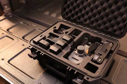
Operational windows in UK agriculture can change in hours. The M3M features a tactical, foldable footprint designed to scale with fast solo workflows.
- Zero-Tool Assembly: Unfolds and activates in seconds right from the back of an ATV, 4x4, or field truck.
- Extended Endurance: Achieves up to 43 minutes of airtime to clear larger surveying legs with minimal battery swap cycles.
- High-Efficiency Turnarounds: Utilises the 100W multi-battery charging hub alongside fast 88W direct aircraft top-ups.
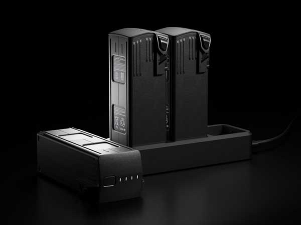
Advanced Power Management
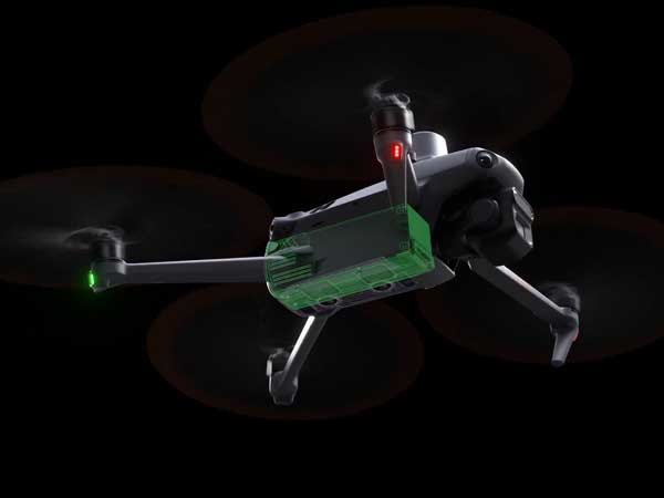
Equipped with high-density cells, the smart hub ecosystem ensures fast replenishment safely to keep your data operations rolling.
- Intelligent charging balancing helps prioritise the battery with highest remaining power.
- Overcharging safeguards preserve internal cell condition over seasonal storage periods.
- Compact charging blocks sync safely with standard field generator outputs.
Stable Link & Omnidirectional Obstacle Sensing
Navigating modern farm environments requires robust automated system protections against complex physical obstacles.
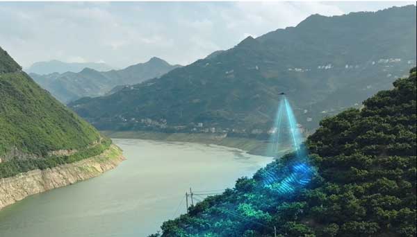
- 360° Vision Awareness: Wide-FOV omnidirectional radar and vision arrays actively avoid tree canopies, power poles, and fence lines.
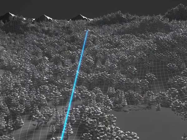
- Advanced Terrain Follow: Constantly tracks the undulating landscape beneath to maintain a fixed, predictable altitude relative to the target crop.
- Low-Latency FPV: Delivers sharp live-view telemetry straight to the operator, maintaining absolute compliance with local UK CAA VLOS guidance.
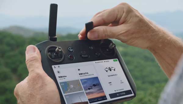
Ecosystem Integration & API Architecture
The M3M features full compatibility with Cloud API (MQTT) and Mobile SDK 5 (MSDK) for seamless structural data streaming.
- Cloud API Integration: Stream real-time telemetry, location tracking, and flight status directly to third-party web interfaces.
- MSDK App Customisation: Develop specialised flight profiles, mapping workflows, or data parsing pipelines.
- Open Standard Formats: Export clean data directly into your primary farm management information systems (FMIS).
Expected Performance on UK Holdings
Commercial Environmental Applications
Monitor agricultural irrigation networks, natural ponds, runoff lanes, and localised algae development zones efficiently.
Track relative crown density, leaf health change across seasons, or sudden canopy wind and pest impact maps.
Audit natural border parameters, stewardship scheme elements, park tree distributions, or local turf conditions.
Supported Agricultural Hardware & Processing Ecosystem
| System / Platform | Integration Support & Workflow Role |
|---|---|
| DJI SmartFarm Web / DJI Terra | Native data ingestion. Reconstructs multispectral ortho-maps, generates tree counts, and exports crop prescription shapes. |
| DJI Agras Series (T50 / T25) | Direct application integration. Imports prescription maps generated by the M3M to execute precise spot-spraying and variable spreading. |
| GIS Software (QGIS / ArcGIS) | Standard radiometric calibration data output ensures easy export into external mapping stacks for auditing. |
Ready to see what your crop can’t tell you? Connect with Drone Sales UK for real world demonstrations, bespoke system packages, and operational training.
What is the Mavic 3 Multispectral and who is it for?›
The Mavic 3 Multispectral (M3M) is a foldable mapping drone with a 20 MP RGB camera and four multispectral bands (Green, Red, Red‑Edge, NIR). It’s designed for farmers, agronomists, researchers and land‑managers who need crop‑health maps, scouting and survey‑grade imagery.
What can I actually do with it on a UK farm?›
Common tasks include spotting nutrition or water stress, detecting pest/disease hotspots, measuring emergence and canopy cover, planning variable‑rate inputs, tree‑counting in orchards/vineyards, and verifying trial plots.
Which vegetation indices can I create (NDVI, NDRE, GNDVI)?›
You can produce the popular indices — NDVI (general vigour), NDRE (chlorophyll in denser canopies), and GNDVI (sensitive to nitrogen/water) — as well as custom band math. The choice depends on crop stage and what you’re diagnosing.
Do I need a reflectance panel if the drone has a sunlight sensor?›
The built‑in sunlight sensor improves consistency across changing light. A calibrated reflectance panel is still recommended for research‑grade or cross‑season comparisons where absolute reflectance accuracy matters.
How much can I map per battery and how long does a flight last?›
You can expect up to ~40 minutes airborne in typical mapping (rated up to 43 min in still air). Real coverage depends on height, overlap, wind and turns. Carry multiple batteries for continuous work. :contentReference[oaicite:1]{index=1}
What altitude and overlap should I use for crop mapping?›
Start at 80‑120 m AGL with 70‑80% front/side overlap. Increase overlap in windy conditions, for tall crops, or when chasing finer ground‑sampling distance (GSD).
How does RTK work and do I need internet in the field?›
RTK provides centimetre‑level positioning by applying corrections to the GNSS solution. You can get corrections from an NTRIP service (requires mobile data) or your own local base station (no internet required). Without RTK you can still map, but accuracy and repeatability are lower. :contentReference[oaicite:2]{index=2}
Do I still need ground control points (GCPs)?›
Many ag‑workflows are fine with RTK only. Use GCPs (or at least check‑points) when you need survey‑grade accuracy, are working under tree cover/poor GNSS conditions, or when specifications demand them.
What does “CE up to 8 km” range actually mean?›
It’s a lab rating for the control/video link in ideal line‑of‑sight conditions. In the UK you must maintain visual line of sight (VLOS), which typically limits practical distances to a few hundred metres depending on aircraft visibility and observers.
Can I fly in wind, drizzle or cold weather?›
The aircraft is not rated for rain or heavy mist — avoid precipitation to protect sensors and data quality. It handles moderate winds; reduce speed and increase overlap when it’s gusty. Works in typical UK winter/summer temps — keep batteries warm before flight in cold. :contentReference[oaicite:3]{index=3}
Is it safe to fly near livestock?›
Yes — with caution. Keep altitude/separation to avoid disturbance, especially during lambing/calving. Follow landowner instructions and welfare guidelines.
What data formats do I get and can my agronomy software read them?›
Typical outputs are geotagged RGB photos, multispectral TIFFs, orthomosaics and index rasters (e.g. GeoTIFF). Most agronomy/GIS tools (and variable‑rate platforms) accept these or their exports (e.g. shapefiles, prescriptions).
Which software should I use — DJI Terra, SmartFarm or third‑party?›
DJI Terra/SmartFarm provide straightforward workflows for indices and farm management. Many teams also use third‑party photogrammetry and GIS when they need extra control or specific analytics. Choose based on your reporting and prescription needs.
How do I turn maps into variable‑rate prescriptions?›
Process flights into NDVI/NDRE, classify into zones, and export a prescription file (rate‑map). These can be used by spreaders/sprayers or to drive drone applications in compatible ecosystems.
Will it automatically detect disease or weeds?›
Multispectral highlights plant‑stress but doesn’t label the cause. Identification requires agronomic expertise and/or trained models. Use the maps to direct ground checks and confirm diagnoses.
Do I need to calibrate the cameras?›
Routine field‑work relies on the onboard sync and sunlight sensor. For research‑grade reflectance, use a panel and consistent capture procedures (panel images at start/end, steady altitude, constant speed).
Does it work in orchards and on sloped ground?›
Yes. Plan terrain‑follow missions and adjust speed/overlap for canopy height and slope. Obstacles and tree rows may reduce GNSS and add occlusion—consider extra overlap and careful line planning.
Do I need internet in the field to fly?›
No. You can fly and record data offline. Internet is only required for NTRIP RTK corrections, syncing to cloud tools or downloading maps. You can also use a local RTK base without mobile data.
How many batteries do I need and how do I charge on farm?›
Two to four batteries keep a single aircraft working most of the day. Use the charging hub and a suitable inverter/generator or mains power. Avoid deep discharges, store partially charged for longer breaks, and keep contacts clean/dry.
What routine maintenance is required?›
Keep lenses/sensors clean, check props for nicks, ensure firmware is current, and review logs for errors. Protect the gimbal in transport and avoid leaving batteries fully charged for long periods.
What permissions or training do I need in the UK?›
Most field surveys can fit within the Open category depending on class‑marking and separation; otherwise operate in the Specific category with the appropriate training and an Operational Authorisation. Always check the latest CAA guidance and carry suitable insurance for commercial work.
Can I map my neighbour’s field from my boundary?›
Get landowner permission, respect privacy, and follow airspace/flight rules. Good neighbour policy: inform nearby farmers before flights, especially near livestock or public rights of way.
How quickly can I go from flight to a usable map?›
Simple index maps from small fields can be processed the same day. Larger blocks and full orthomosaics take longer depending on PC specs and overlap. Batch overnight when processing many fields.
Can the M3M work alongside spraying/spreading drones?›
Yes. Use multispectral surveys to create prescription maps and zone boundaries. Those outputs can inform variable‑rate drone jobs where supported by your ecosystem.
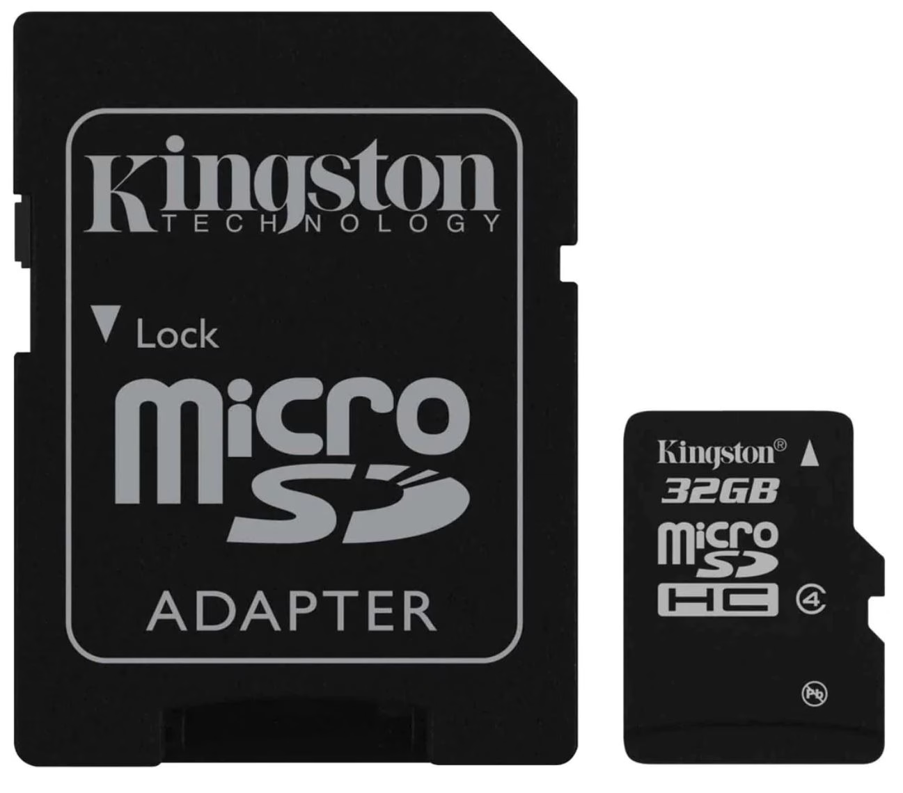
What memory cards should I use?›
Use high‑quality UHS‑I V30 (or better) microSD cards from reputable brands. Keep spares, and format in‑device before important jobs.
Any tips for getting clean, consistent maps?›
Fly midday with stable light, keep altitude/ground speed steady, maintain recommended overlap, and avoid dust/moisture on lenses. Use the same workflow each time to make fields comparable across dates.
Do you provide setup, training and support?›
Yes — Drone Sales UK can help with setup, field workflows, UK regs guidance, data processing and ongoing support. Ask about on‑farm training and bundles.
What about warranty and repairs?›
Standard manufacturer warranty applies; extended cover plans may be available. Our UK team can advise on turnaround times, spare parts and loan options if required.
How quickly can the drone pay for itself?›
ROI depends on farm size and how often you fly. Users typically regain value through saved inputs (targeted fertiliser/chemicals), reduced scouting time, and earlier intervention leading to yield protection.
Who owns the data?›
You do. If you use cloud services, review their terms on storage and sharing. Many workflows can be run entirely offline if preferred.
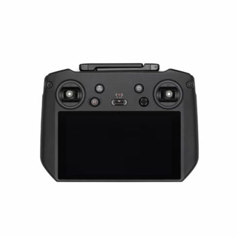
What’s in the Box
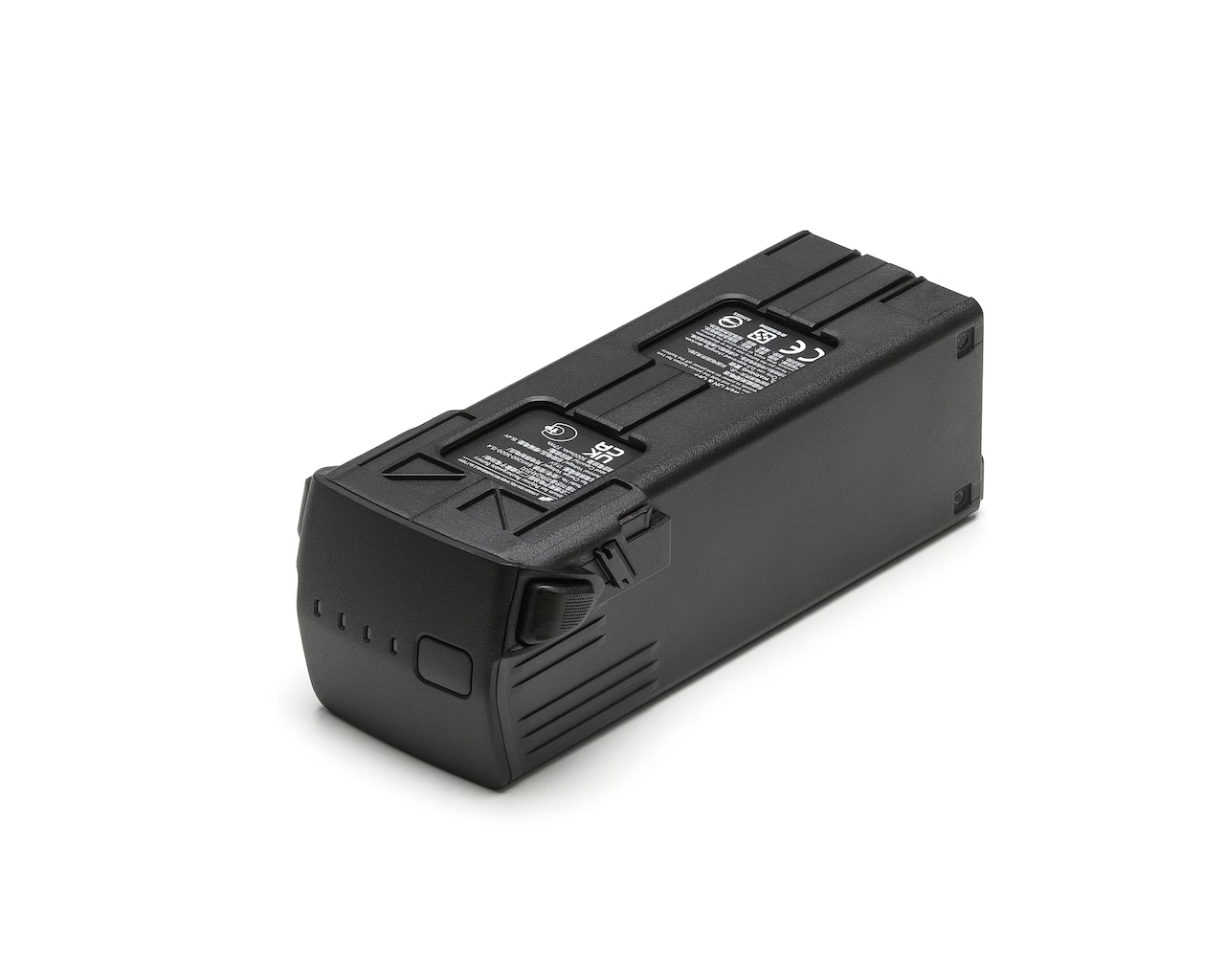
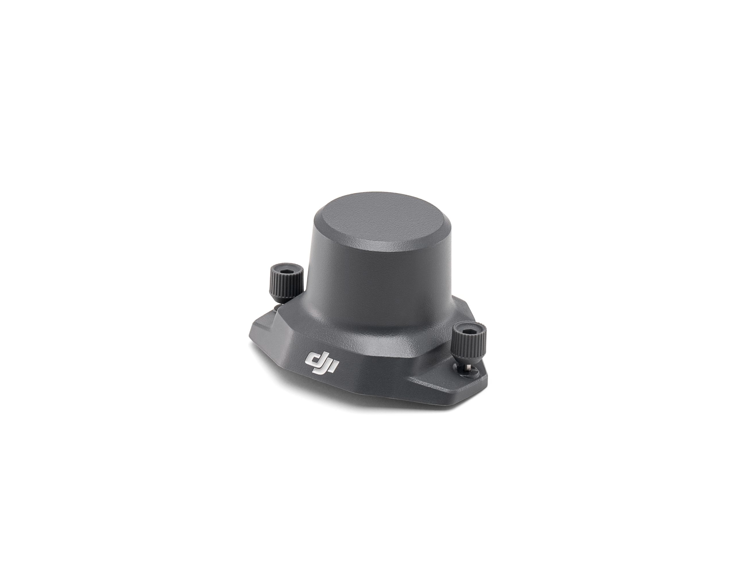
DJI Mavic 3 Multispectral — Technical Specifications
A compact foldable drone designed for professional agricultural and surveying applications, combining high‑resolution RGB and multispectral imaging with RTK positioning and extended flight performance.
Up to ~43 min flight time
20 MP 4/3″ RGB camera
4× 5 MP multispectral sensors
Folded size: 223×96×122 mm
RTK positioning standard
Aircraft
- Net Weight (with props & RTK): 951 g
- Max Take‑off Weight: 1,050 g
- Dimensions (Folded, w/o props): 223 × 96.3 × 122.2 mm
- Dimensions (Unfolded, w/o props): 347.5 × 283 × 139.6 mm
- Diagonal Length: 380.1 mm
- Max Ascent / Descent: Ascend: 6 m/s (Normal); 8 m/s (Sport) | Descend: 6 m/s (N/S)
- Max Flight Speed (sea level): Normal: 15 m/s | Sport: Forward 21 m/s, Side 20 m/s, Back 19 m/s
- Max Wind Resistance: 12 m/s
- Max Take‑off Altitude: 6,000 m (no payload)
- Max Flight / Hover Time: Up to 43 min (flight) / up to 37 min (hover) — no wind
- Max Flight Distance: 32 km (no wind)
- Pitch / Angular Velocity: 30° (Normal) / 35° (Sport) | Angular velocity: 200°/s
- GNSS: GPS + Galileo + BeiDou + GLONASS (GLONASS only when RTK enabled)
- Hovering Accuracy: Vertical: ±0.1 m (Vision), ±0.5 m (GNSS), ±0.1 m (D‑RTK) | Horizontal: ±0.3 m (Vision), ±0.5 m (HD), ±0.1 m (RTK)
- Operating Temperature: −10 °C to 40 °C
- Light Sensor: Built‑in sunlight sensor
RGB Camera
- Sensor: 4/3″ CMOS, 20 MP effective pixels
- Lens: FOV 84°; 24 mm equivalent; f/2.8–f/11; focus 1 m → ∞
- ISO Range: 100–6400
- Shutter: Mechanical: 8–1/2000 s; Electronic: 8–1/8000 s
- Max Image Size: 5280×3956
- Video: H.264 — 4K 3840×2160 @ 30fps; FHD 1920×1080 @ 30fps; up to 130 Mbps
- Formats: Photos: JPEG / DNG (RAW) | Video: MP4 (H.264) | File system: exFAT
Multispectral Camera
- Sensor: 1/2.8″ CMOS, 5 MP (×4 channels: G/R/RE/NIR)
- Lens: FOV 73.91° (61.2°×48.1°); 25 mm equivalent; f/2.0; fixed focus
- Bands: G 560±16 nm; R 650±16 nm; RE 730±16 nm; NIR 860±26 nm
- Gain / Shutter: Gain 1×–32×; Electronic shutter 1/30–1/12,800 s
- Max Image Size: 2592×1944 (TIFF)
- Video: H.264 MP4 — FHD 1920×1080 @ 30fps; stream up to 60 Mbps (NDVI/GNDVI/NDRE preview)
Gimbal & Sensing
- Stabilisation: 3‑axis mechanical gimbal (tilt/roll/pan); angular vibration ±0.007°
- Gimbal Ranges: Mechanical: Tilt −135° → 45°, Roll −45° → 45°, Pan −27° → 27° | Controllable: Tilt −90° → 35°
- Obstacle Sensing: Omnidirectional binocular vision + bottom IR; forward/back/side/up/down ranges
Video Transmission
- System / Live View: DJI O3 Industry Edition; 1080p @ 30 fps to RC
- Operating Bands: 2.400‑2.4835 GHz; 5.725‑5.850 GHz
- Max Signal Distance (ideal): FCC ~15 km; CE ~8 km; SRRC ~8 km; MIC ~8 km (unobstructed)
- Obstructed (guide): Urban: 1.5‑3 km; Suburban: 3‑6 km (CE); Open fields: 6‑8 km (CE)
- Download / Latency: Up to 15 MB/s (RC Pro Industry); ~200 ms latency
* Range and flight time figures are lab conditions. Always maintain Visual Line Of Sight (VLOS) and comply with UK Civil Aviation Authority rules.
Multispectral + RGB Imaging
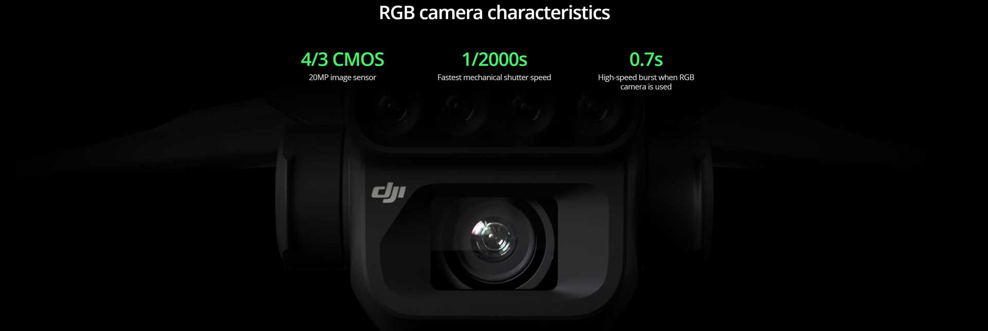
The Mavic 3M’s integrated imaging suite combines a 20 MP 4/3″ RGB camera with four dedicated multispectral channels — enabling high-precision surveying, crop monitoring and natural resource assessment.
RGB Camera
20 MP 4/3″ CMOS with a mechanical shutter up to 1/2000 s minimises motion blur during mapping. High-speed bursts down to ~0.7 s keep missions efficient.
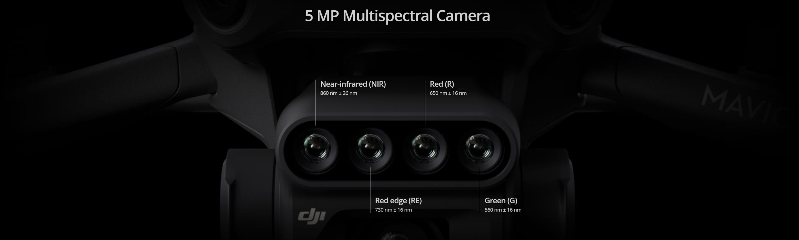
Multispectral Bands
Four 5 MP sensors tuned to key vegetation wavelengths:
Green 560 nm ± 16
Red 650 nm ± 16
Red-Edge 730 nm ± 16
NIR 860 nm ± 26
Built-in Sunlight Sensor
A top-mounted irradiance sensor records incident light with each capture. During 2D reconstruction this enables light compensation, improving NDVI accuracy and ensuring consistency across time and changing conditions.
Downloads
v2.2.0 • Windows Installer (ZIP)
v17.01.05.08 • Firmware Archive (ZIP)
PDF Manual • Multi Language
PDF Manual • English
Related Products
-
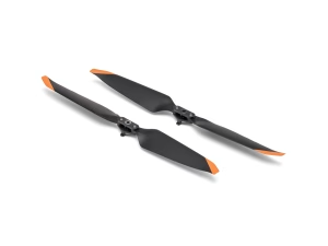
DJI Mavic 3 Enterprise Propellers
£19.00 Read more -
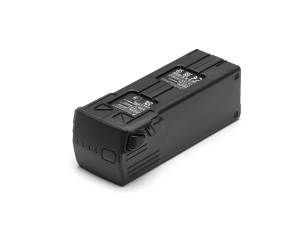
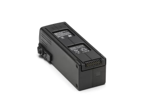
DJI Mavic 3 Battery
£179.00 Read more -
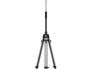
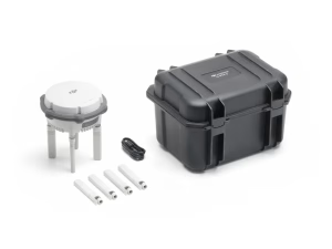
D-RTK 3 Station Agri Bundle
£979.00 Buy Now -
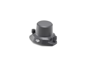
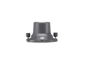
DJI Mavic 3 Enterprise RTK Module
£570.00 Buy Now -
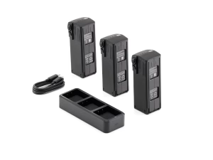
DJI Mavic 3 Enterprise Battery Kit
£529.00 Buy Now -
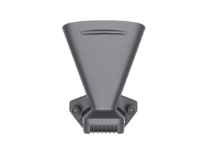
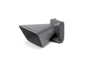
DJI Mavic 3 Enterprise Speaker
£150.00 Read more -
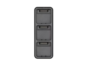
DJI Mavic 3 Enterprise 100W Battery Charging Hub
£89.00 Read more -
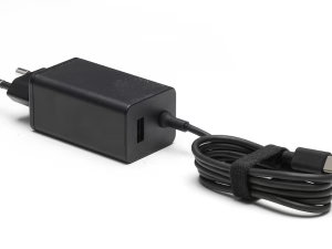
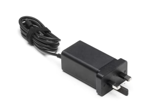
DJI 65W Portable Charger
£69.00 Read more -
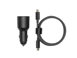
DJI 65W Car Charger
£69.00 Read more -
Sale!

Propeller Guard for DJI Mavic 3
Original price was: £30.00.£14.99Current price is: £14.99. Read more